|
So, my plan is as follows:
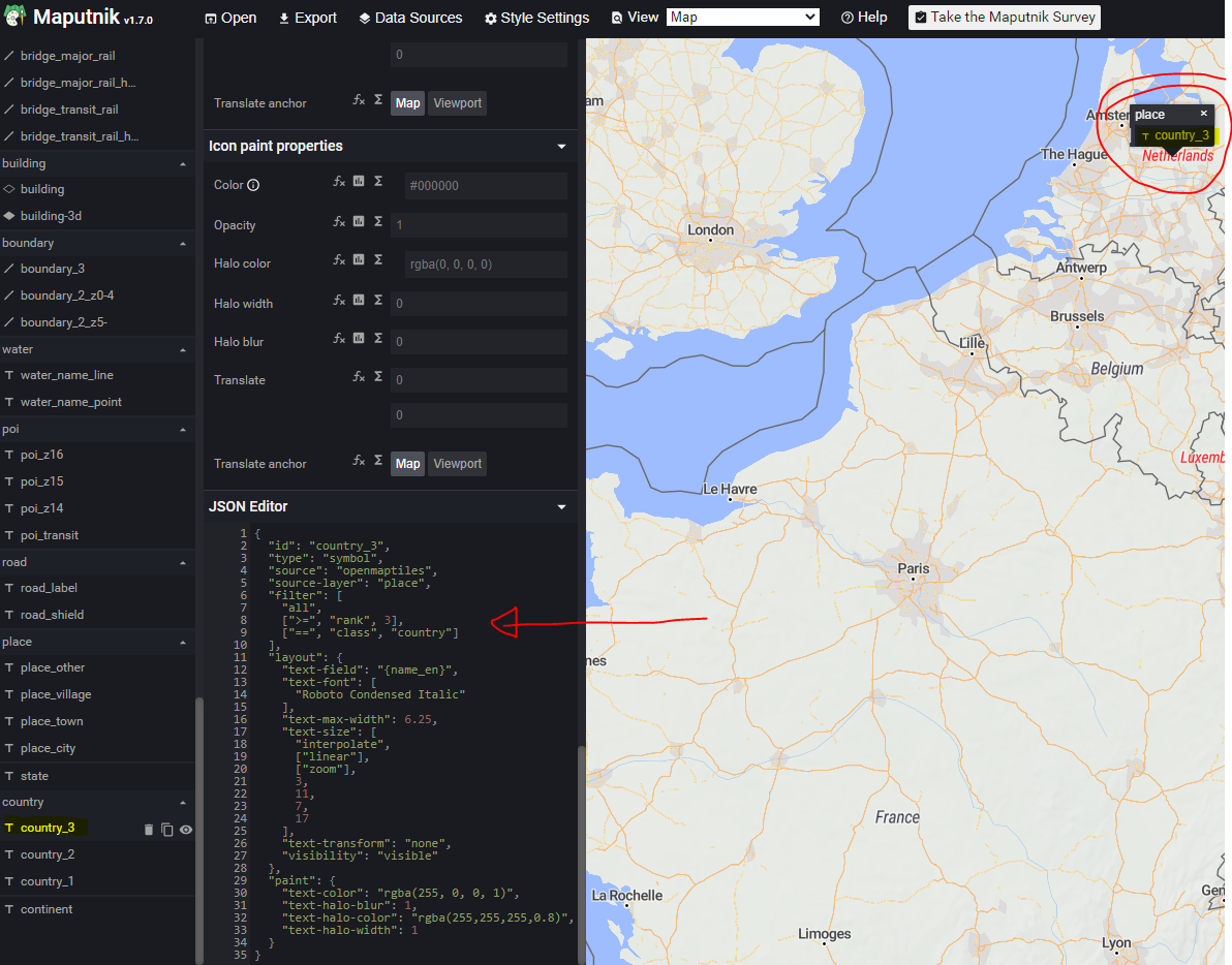
Now, all this works more/less OK (I tried first on some smaller dataset of Netherlands), but it seems that I cannot get this to extract country names. Not sure if this is some additional display layer, or is this actually part of OSM files? I'm adding screenshot of the country names that I would like to display, but that I cannot see when I open OSM file in some of the editors. Is there Is it easy to simplify shapes for
|
NOTICE: help.openstreetmap.org is no longer in use from 1st March 2024. Please use the OpenStreetMap Community Forum
Follow this question
By Email:Once you sign in you will be able to subscribe for any updates here
By RSS:Markdown Basics
- *italic* or _italic_
- **bold** or __bold__
- link:[text](http://url.com/ "title")
- image?
- numbered list: 1. Foo 2. Bar
- to add a line break simply add two spaces to where you would like the new line to be.
- basic HTML tags are also supported
Question tags:
question asked: 18 Jul '21, 21:07
question was seen: 986 times
last updated: 18 Jul '21, 21:07
Related questions
NOTICE: help.openstreetmap.org is no longer in use from 1st March 2024. Please use the OpenStreetMap Community Forum