Certain features do not agree with lat/lon as per my GPS and aerial photos. I would like to add lat/lon control points to determine how far off and to be able to correct. asked 12 Feb '23, 18:24 PacNWMike edited 12 Feb '23, 18:36 |
5 Answers:
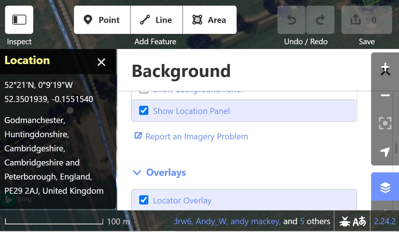
Car Sat Navs, Mobile phones and devices such as Garmin Hiking and Cycle units are generally accepted in OSM to be no better 5 meter accuracy. Background Ariel is not always accurate either. We can fall into the trap that "our" device is perfect, it may be very good on some days other days a bit off. We look a Ariel backgrounds and think we can believe our eyes, but that isn't so. Ariel is only as accurate as the care and the data quality used in calibrating it. The advised method is to use several GPX traces taken over a period of time to get a good average and then drag the background images into alignment before starting to map. Expensive survey grade GPS devices use additional devices such base stations signals and computations to get centimeter and better results. I think all the Editors can show cursor position as a Lat long. This is a jpeg of how to show Lat Long when using iD
answered 13 Feb '23, 07:35 andy mackey edited 13 Feb '23, 23:46 |
Yes, I understand all of that. I have a point on the ground set with a survey grade GPS mm accuracy. I want to enter this point on OSM to note the discrepancy with the mapped features. So getting back to my question which remains unanswered. How do I enter the coordinates of this point? Thx answered 13 Feb '23, 18:07 PacNWMike |
I don't know about the iD editor but in JOSM with the UtilsPlugin2 plug in you can add a node at a specified lat/lon. Once the plug-in is installed there will be a “More Tools” pull down at the top of the screen. In that pull down near the bottom is a “Lat Lon Tool” that can add a node at the lat/lon that you type in. I am pretty sure there is also a way to move an existing node to a specified location but I can’t remember how to do that at the moment. answered 13 Feb '23, 19:01 n76 "near the bottom is a “Lat Lon Tool” that can add a node at the lat/lon that you type in." Got it! Thanks. I see that ArcGIS has an OSM editor tool. I installed it. I think that works as well. But the JOSM editor seems to be the easiest. (16 Feb '23, 03:08) PacNWMike |
If your device can save waypoints do that, give the points useful names. Save that file on your PC. If using the iD editor open it in the area where a waypoint is, Drag the waypoint(s) in to the iD edit window. You should now be able to see the point. select the point, and you should now be able to see the name you gave it. Now create your suggested control points. I found creating waypoints of house numbers/names very useful when mapping a randomly numbered residential street I discovered. answered 14 Feb '23, 10:39 andy mackey edited 16 Feb '23, 07:31 |
Once you have set the node, tag it as man_made = survey_point with the hope that others would follow that alignment. Oh, and probably also a note to describe what that survey point is (and also it's actual coordinate in case somebody nudged it). answered 24 Feb '23, 14:58 kucai |
There are lots of questions and answers which are searchable. see this one https://help.openstreetmap.org/questions/62708/when-buildings-and-roads-are-misaligned-which-takes-preference