|
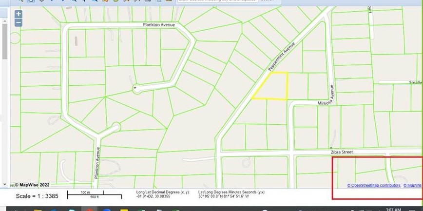
Please help provide an example of how to display third-party information on top of OSM for displaying parcel boundaries. Any link with a sample for example will be helpful. I have also attached an image. |
|
This depends on what medium you want to use - the techniques you would use for a browser map are different from those you would use for a printed map or maybe an app. One option for a browser-based solution is to use the popular "Leaflet" library to display an OSM map (when accessing OSM's severs, always honour the Tile Usage Policy) and then draw your parcel polygons on top. The source of the parcel polygons could e.g. be a GeoJSON file that you have created. See here for an example that does this: https://www.igismap.com/add-load-geojson-file-point-polyline-polygon-map-leaflet-js/ If you have a very large number of polygons to draw, you will want to implement a server-side filter (so that the Leaflet library can request from the server only those polygons needed for the current map view, not the whole data set). This could be a simple PostGIS database or something like GeoServer (both Open Source). |