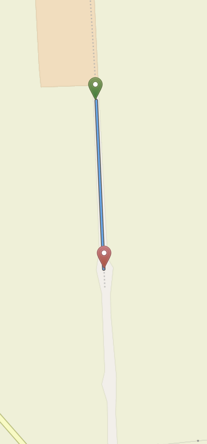
Looking for help on how to mark the course/route of lifted railways on OSM to then export as .gpx or .geojson files. I then import the files into my uMaps of railway lines I have travelled over. I mark open railways on brouter.de or bikerouter.de For closed railways (which appear as broken light grey dots) I use signal.eu.org. With lifted lines, what I'd like to be able to draw across a map as often you can see the course of the old line. An example is shown here. I'd like to be able to mark past where the dots finish. In some cases railway lines are converted into cycle paths and these are easy as bikerouter.de takes care of that. Any suggestions on how to mark up something on OSM that's not a railway track, road, pathway etc.? Is there a way through Google Maps for example? Thanks
asked 14 Dec '22, 22:18 Philip Richards |
2 Answers:
I am not sure what you mean by a "lifted railway". I think you are referring to a former railway line where the tracks have been removed but that the right of way is still visible and it is obvious that it was previously a railway. In that case the railway lifecycle tagging would be appropriate. See: https://wiki.openstreetmap.org/wiki/Railways#Life-cycle answered 15 Dec '22, 15:22 n76 |
Yes "lifted railway" refers to when the track has been taken up. The course may still be visible on maps and satellite views, though over time it may get built over etc. The wiki pages are interesting, but don't provide any assistance on how to draw over land that used to have a railway line. answered 15 Dec '22, 22:40 Philip Richards |


You mentioned that you are importing into umap. Could you draw the lines in umap to connect the bits that are missing from your imported routes? Or is the issue that you don't know where the lines should go?