Hi OSM community! My name is Hilary and I am new here. I wanted to ask if it is possible to use OSM to map individually planted trees? asked 06 Jun '22, 06:44 NihaoHihao |
2 Answers:
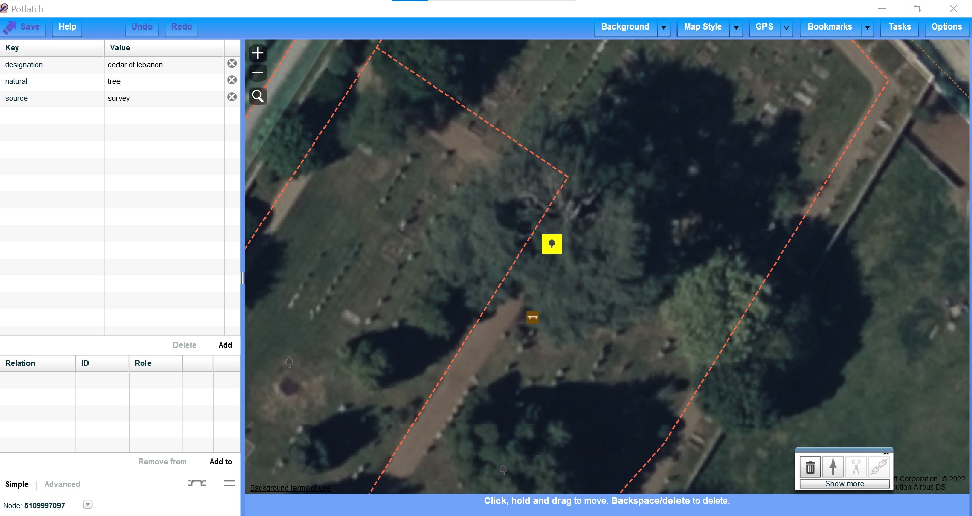
Yes it is. Here is one I mapped in a cemetery that has several large ones. https://www.openstreetmap.org/?mlat=52.29987&mlon=-0.38781#map=19/52.29987/-0.38781&layers=N
If you have a location with GPS or phone you can also use the co-ordinates you have recorded. more information. https://wiki.openstreetmap.org/w/index.php?search=tree+mapping&title=Special%3ASearch&go=Go answered 06 Jun '22, 08:10 andy mackey edited 06 Jun '22, 08:30 |
Christoph Hormann has written interesting things about trees in his blog. This appeared in weeklyOSM 619 The Osm wiki on natural=tree https://wiki.openstreetmap.org/wiki/Tag:natural=tree answered 07 Jun '22, 08:08 nevw edited 07 Jun '22, 08:10 1 What's still missing to me, is a means of showing density. Of differentiating between thick woodland where the land is completely covered, and areas where the tree cover is far thinner and you'll often see daylight, but are still dense enough to make mapping individual trees impractical. This especially applies to newly planted woodland, where the trees are young and hence there are visible gaps between them. And where from the aerial photos, you'd barely realise they were trees at all! (11 Jun '22, 14:01) Mikey Co 2 @Mikey Co Yes there is (12 Jun '22, 06:28) Kovoschiz When did wood:density become an option? I now it was talked about, but I hadn't realised it was now set up! The help pages don't cover it yet (12 Jun '22, 10:39) Mikey Co OSM allows people to use any tags they like so essentially any tag is an option. Looking at the map for the usage of wood:density worldwide, it seems to be much more used in some places than others. For example, an overpass query suggests little use in the UK (where I am). (12 Jun '22, 12:05) SomeoneElse ♦ 1 Plus the typical values seem to be totally subjective. (12 Jun '22, 19:21) SK53 ♦ |
Hi Andy, thanks a lot for the response, I wanted to know what kind of details we could include in the pin?
Species, Height, Date of Planting and Website links are all possible. Users would have to look at the data to see more than a Tree node though.