NOTICE: help.openstreetmap.org is no longer in use from 1st March 2024. Please use the OpenStreetMap Community Forum

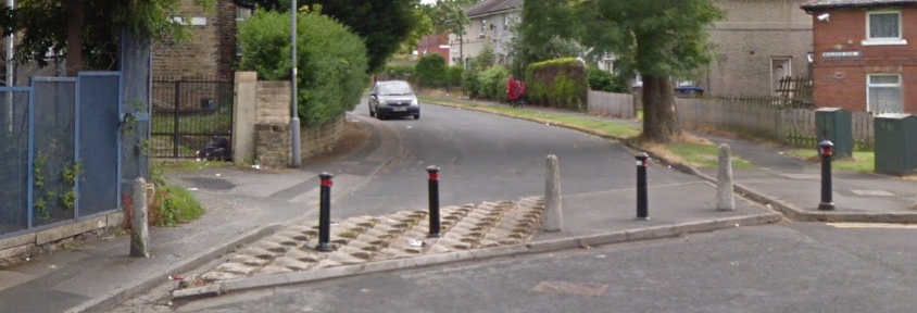
Does OpenStreetMap have a description or definition for the highway access feature in the attached image? The local authority has installed many access control barriers during the past thirty years or so. Highway access feature

asked 20 Apr '22, 18:08

Standpoint's gravatar image

Standpoint
11334
accept rate: 0%


These are normally tagged as barrier=bollard.

permanent link

answered 21 Apr '22, 06:52

InsertUser's gravatar image

InsertUser
11.0k1369185
accept rate: 19%

edited 21 Apr '22, 06:54

Your answer
toggle preview

Follow this question

By Email:

Once you sign in you will be able to subscribe for any updates here

By RSS:

Answers

Answers and Comments

Markdown Basics

  • *italic* or _italic_
  • **bold** or __bold__
  • link:[text](http://url.com/ "title")
  • image?![alt text](/path/img.jpg "title")
  • numbered list: 1. Foo 2. Bar
  • to add a line break simply add two spaces to where you would like the new line to be.
  • basic HTML tags are also supported

Question tags:

×163
×98
×11
×1

question asked: 20 Apr '22, 18:08

question was seen: 777 times

last updated: 21 Apr '22, 06:54

NOTICE: help.openstreetmap.org is no longer in use from 1st March 2024. Please use the OpenStreetMap Community Forum