I could not find the issue in the data. Everything seems well connected. Can somebody with experince have a look? asked 19 Mar '22, 20:08 MatzeR |
One Answer:
Your link failed to display the map. But when I typed in the co-ords routing worked with graphopper but not OSRM I suspect the footpath tag should have foot=allowed or in England foot=designated to indicate it is a legal footpath. I also notice there are some fixmes where the path crosses the stream does it have a bridge or is it a ford? this link will help others find it. https://www.openstreetmap.org/?mlat=51.63194&mlon=10.40762#map=19/51.63194/10.40762 Looking again, the tag is access=forestry would that mean forestry workers only? That may be the problem.
answered 19 Mar '22, 22:31 andy mackey edited 19 Mar '22, 22:50 showing 5 of 7 show 2 more comments |
Yes it looks like access=forestry on the track may be the problem, used on its own it implies all forms of non-forestry access are not allowed (including foot, bicycle, horse). Depending on what is in fact allowed, it might be fixed by making this tag narrower e.g. motor_vehicle=forestry, as suggested at https://wiki.openstreetmap.org/wiki/Tag:access=forestry?uselang=en-GB . You could also add specific modes to override the main access tag, e.g. foot=yes. Ideally based on what is signed on the ground.
(I couldn't get the original link to work either by the way).
Thanks alan
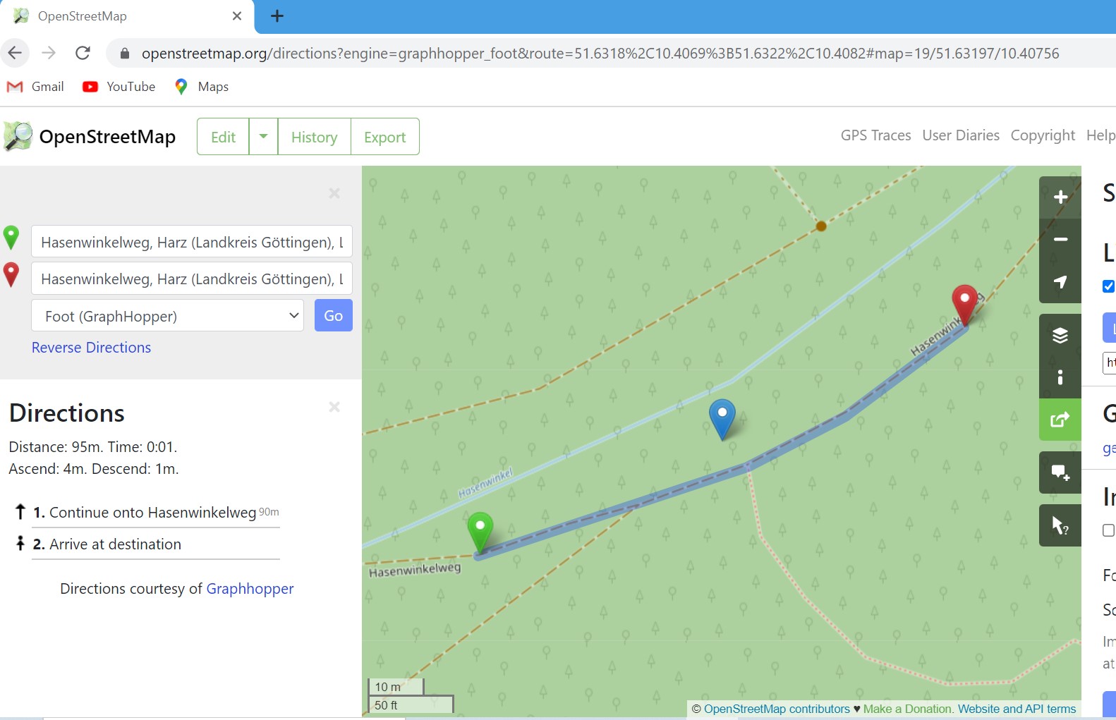
Thanks Alan & Andy. With foot=allowed routing works as expected.
Please note that the correct tag is
foot=yesand notfoot=allowed.Thanks scai I have used a pre-set option available in Potlatch3 (foot =allowed ) perhaps that pre-set needs updating maybe?.. But I like Potlatch3
Checking again. Clicking on foot=allowed does in fact insert foot=yes when viewed in advanced mode so I think we are all ok :-)
Not directly related to the original question, but:
is actually a bit confusing, and not just because "allowed" should be "yes" of course.
The "foot" tag on something describes how it is legal to access it by that mode of transport. Somewhat confusingly, "foot=designated" is also used with "highway=path" to indicate that the thing being discussed is actually designed as a footway not any other sort of path.
What I suspect Andy is alluding to here is the "designation=public_footpath" tag, which is used in England and Wales to indicate a special legal status, which also implies foot=yes (but I'd always add a foot=yes tag too, to avoid problems like this one).