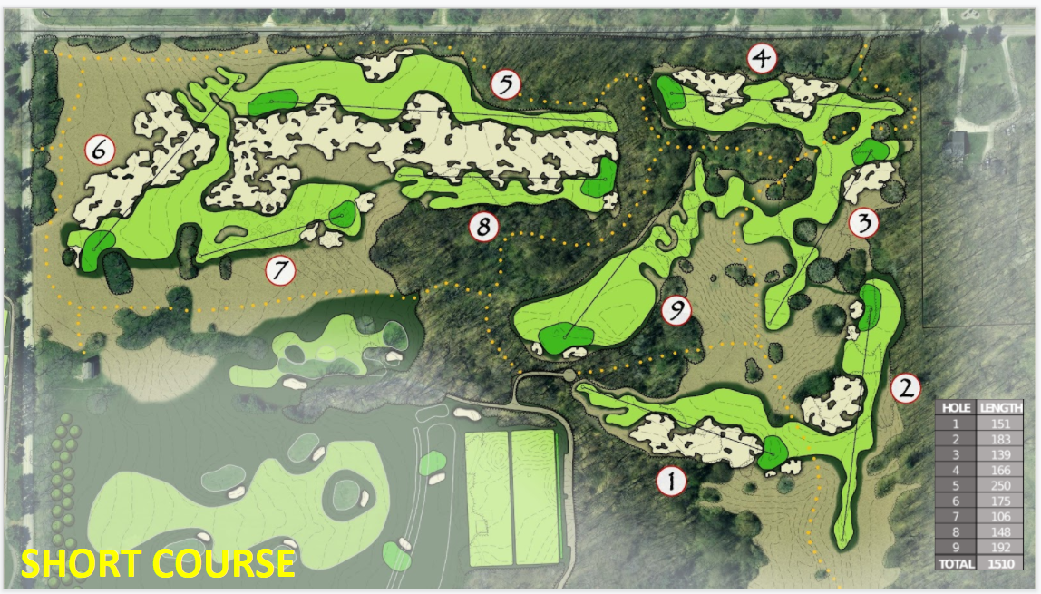
I have a schematic of a proposed project, a short golf course in PNG format. Is there a way to layer this lining up land marks, trees and or road intersection? I think there must be a way to do this but I am not at all sure where to begin.
asked 05 Mar '22, 19:42 D Hood |
2 Answers:
Do not add this golf course to OSM. For the last year or so, OSM has been plagued by people doing exactly what you propose here - making short-term modifications to OSM in order to create an export for a golf course simulator! OSM is not a staging system for golf course simulators. Please contact the makers of the software for a way to achieve the desired goals WITHOUT modifying OSM. answered 05 Mar '22, 21:16 Frederik Ramm ♦ |
Note that maps and similar works are protected by copyright. Assuming you have permission and the project is at a stage in which is actually going to be built (in general project proposals are not really something that should be added to OSM), the simplest solution using iD is to use https://mapwarper.net/ and add the processed imagery as a custom tile source. answered 05 Mar '22, 19:56 SimonPoole ♦ edited 05 Mar '22, 22:32 |
Thank you, to answer your question. This is a proposed project that I would pair with Lidar data to generate a virtual representation to be used and evaluated on a golf simulator. I really have no use for keeping the map other than to use it as a coordinate defined OSM export. In fact I would probably delete the mapping once completed. As to not clutter up OSM with nonsense. I have permission to use the drawing in this context from the creator.
Note that if you are using JOSM there is a plugin that allows aligning images https://wiki.openstreetmap.org/wiki/JOSM/Plugins/PicLayer
@D Hood
You don't need to delete it if you don't upload. JOSM can be used as a GIS drawing software on its own for exporting as you suggest, without anything to do with the OSM project. Utility is in the ability to use OSM tags and their defined rendering styles.