asked 20 Feb '21, 11:30 Craftycockney edited 20 Feb '21, 11:36 |
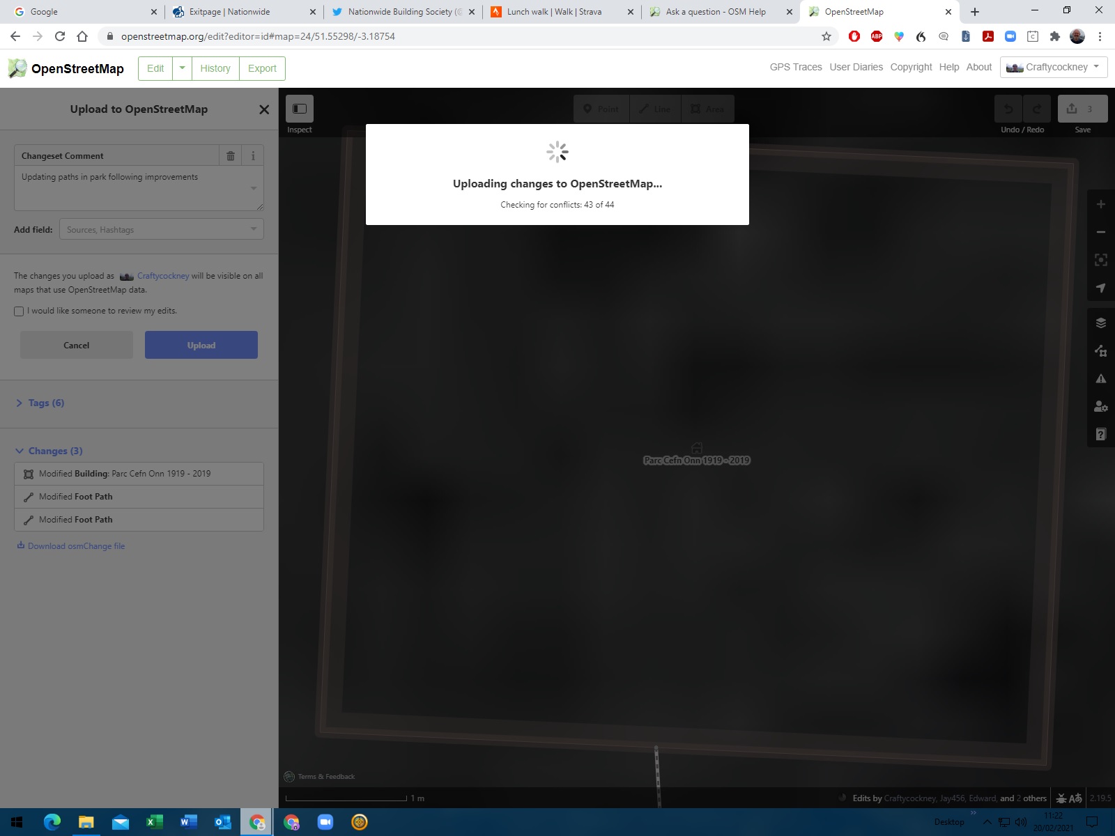 I returned to a recent building addition using ID editor wanting to reposition it. Made change and went to save. For first time message said someone else had made recent change to path position asked me to resolve conflict. I reviewed path and building position and choose my edit. On saving it went into continuous conflict step process loop such that I had to close window. Tried it twice with same result.
One Answer:
First, save your work as an .OSC File. See the link right at the bottom of the save panel on the left hand side. You can ask somebody (or do it yourself) with access to JOSM or Vespucci to upload your edits contained in the file if it is so much work that it makes sense to do so, but we want the data for documentation purposes in any case. 2nd. create an issue on the iD repository describing your issue https://github.com/openstreetmap/iD/issues Add the OSC file from above to your report (note that github tends to be picky about files types, so you might need to change the file extension to .txt for this to work). answered 21 Feb '21, 11:54 SimonPoole ♦ |