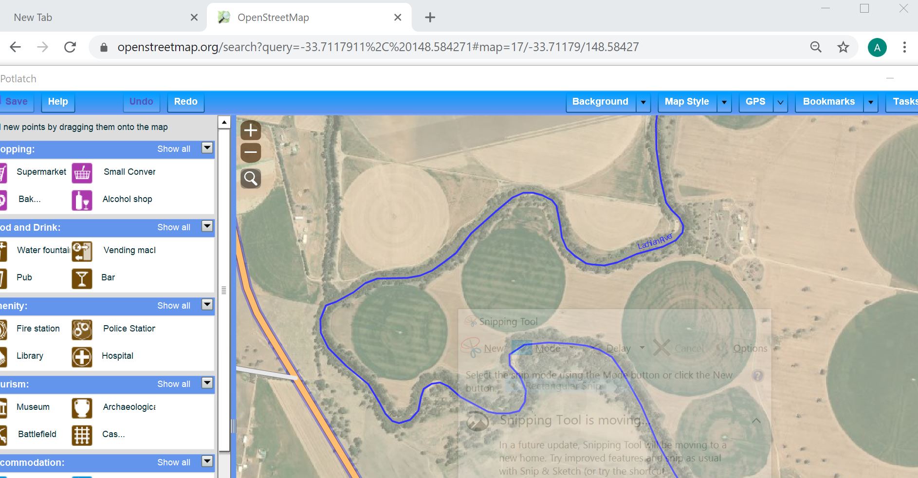
A British Broadcasting radio prog on farming made me look at this area -33.7117911, 148.584271 I found large green circle, I suspect they may have some sort of huge rotating irrigation system. How should they be mapped? asked 24 Jan '21, 07:29 andy mackey |
One Answer:
There's answered 24 Jan '21, 09:16 Kovoschiz edited 24 Jan '21, 09:18 I think the circles will probably be seasonal, but in a this climate maybe a continual rotation ( no pun) of crops might be grown so maybe it should just mapped as arable land. (24 Jan '21, 14:56) andy mackey |
A bit of research they seem to be crops irrigated with one of these https://www.youtube.com/watch?v=ND4ZDNud5i4
mechanics explainedhttp://blog.irrigation.education/blog/how-a-center-pivot-works
I couldn't get my link to work. But Google Utube should do the job. Center Pivot Irrigation Systems