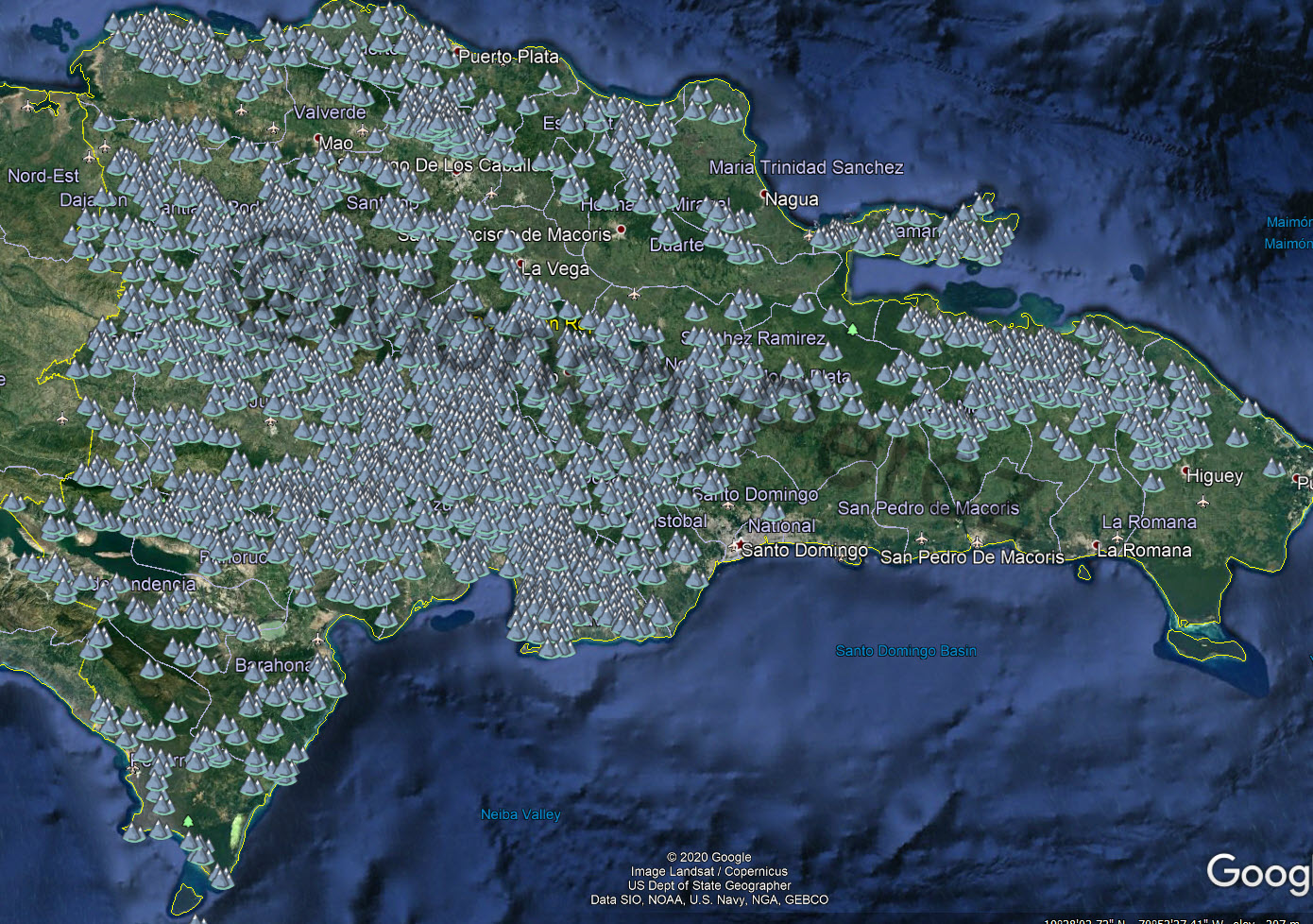
Hi team, I recently got familiar with OpenStreet Maps and I am looking to add value to our tool, I manage to get data for over 2400 Hills, peaks and MOuntains in the Dominican republic each with their geolocation and Height information (metric). My gorgeous country shares Hispaniola Island with the beautiful Haiti people... but on OSM I see that In Dominican Republic there are far fewerElevations mapped that in HAity. AS I mentioned I was able to sort out roughly about 2000+ elevations each with their Name, Height and Geolocation. So... How do we go about adding this.... :-) LetsGetItOn
asked 23 Jan '21, 16:40 MonchyPerez |
One Answer:
You would need to follow the procedure described in the import guidelines. While they are called "guidelines" failure to follow them will probably result in the data being quickly deleted by the DWG. answered 24 Jan '21, 03:30 InsertUser |