Looking at a bus route like this one, I would like to know how I could compute the total distance of the route. I can see that the route is compose of "ways" that I can export to XML. Adding up the lengths of all the "ways" comprising a route should give me what I want. But there is no length information nor any begin/end position in the XML. How can I get the length information about the "ways" comprising a route? asked 02 Jan '21, 10:10 tbus edited 02 Jan '21, 10:39 |
3 Answers:
You could also use the Relation Analyzer answered 02 Jan '21, 15:23 nevw edited 03 Jan '21, 10:21 |
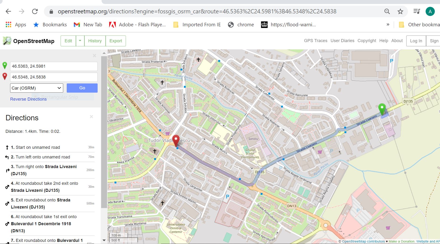
I haven't used an XML file but GPS Babel might convert it to a GPX. The GPX could then be read by several mapping apps to read the distance you want. I rough solution could be to use the route arrow on the map page to measure sections of the bus route.
answered 02 Jan '21, 11:16 andy mackey edited 07 Jan '21, 16:59 |
Using JOSM: The measurement tool is a plugin and you may also need the utilsplugin2, also may need to check 'Expert Mode' at the bottom left of the plugins page. Edit: distance of total bus route is incorrect because segments of road that are travelled in both directions are only counted once in the measured total.
answered 02 Jan '21, 13:30 nevw edited 03 Jan '21, 16:23 |
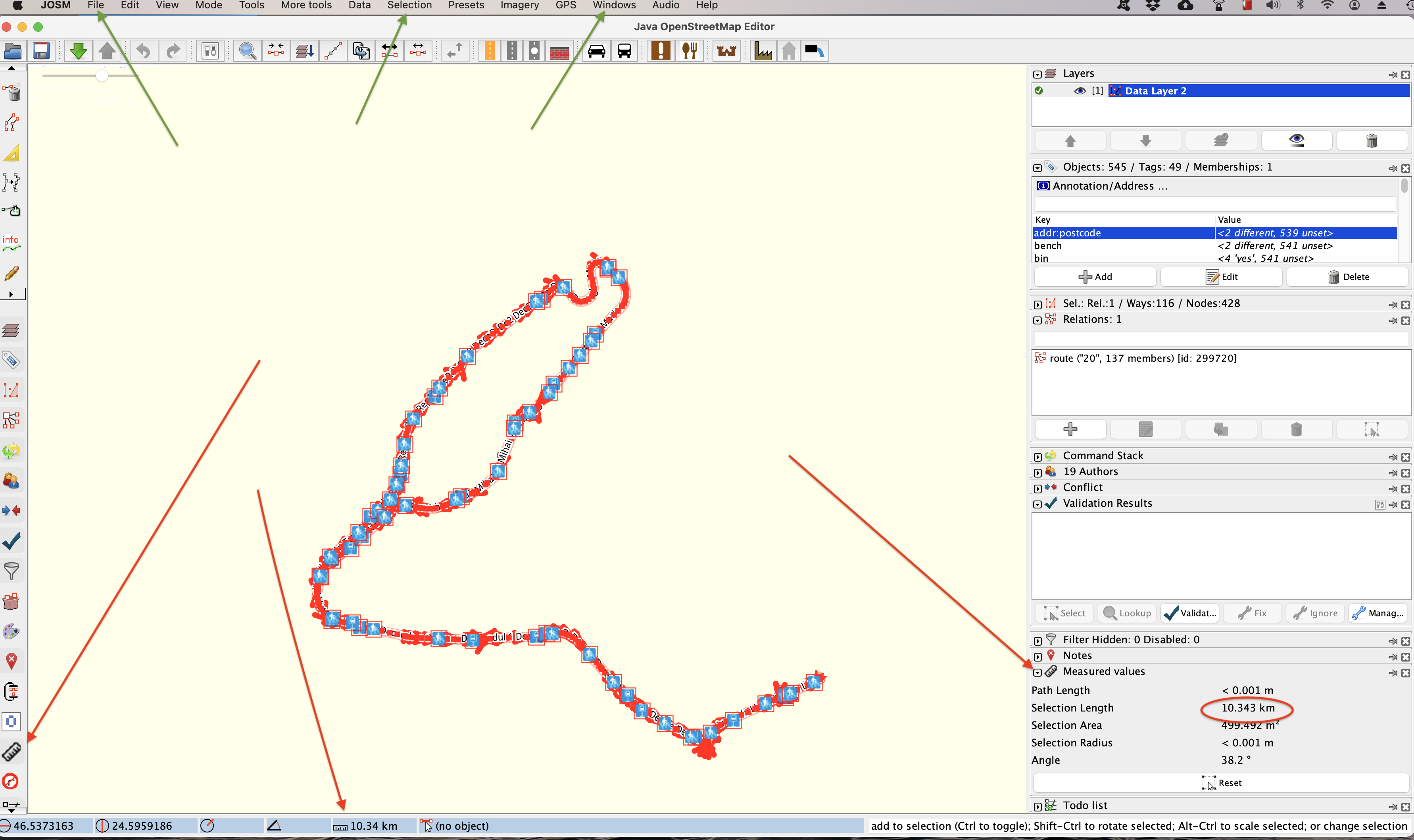
This is what I was looking for, thank you! Unfortunately I believe either the ways measurements or something else is wrong, because the real total length is considerably longer than that (~14 km vs 10.3km).
Yes you are correct.
I plotted the round trip using AllTrails and covered 13.6 km.
https://www.alltrails.com/explore/map/sun-03-jan-2021-10-17-979a3f1
I assume the parts of the route where the bus follows the same part of the road in each direction count once unfortunately?
Maybe one of the public transport apps that use the OSM data solve the task.