NOTICE: help.openstreetmap.org is no longer in use from 1st March 2024. Please use the OpenStreetMap Community Forum

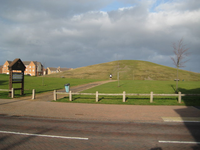
Can anyone suggest how to tag a prominent local feature that is a man-made hill? https://s0.geograph.org.uk/geophotos/02/77/44/2774448_ab0f0021.jpg

I've used an 'embankment' but feel that's not the best tag? See here: https://www.openstreetmap.org/?mlat=52.53806&mlon=-0.27548#map=17/52.53805/-0.27547

Thanks.

asked 04 Sep '20, 20:03

eteb3's gravatar image

eteb3
295131524
accept rate: 6%


Ones that look like they have a person underneath are historic=archaeological_site + site_type=tumulus or historic=tomb + tomb=tumulus.

There is an old proposal that suggests man_made=peak + peak=knoll/hillock but this doesn't seem to have gained much traction. There is slightly more usage for natural=knoll and peak=hillock which are documented as tagging options for orienteering.

permanent link

answered 05 Sep '20, 00:18

InsertUser's gravatar image

InsertUser
11.0k1369185
accept rate: 19%

edited 05 Sep '20, 00:36

Your answer
toggle preview

Follow this question

By Email:

Once you sign in you will be able to subscribe for any updates here

By RSS:

Answers

Answers and Comments

Markdown Basics

  • *italic* or _italic_
  • **bold** or __bold__
  • link:[text](http://url.com/ "title")
  • image?![alt text](/path/img.jpg "title")
  • numbered list: 1. Foo 2. Bar
  • to add a line break simply add two spaces to where you would like the new line to be.
  • basic HTML tags are also supported

Question tags:

×14
×4

question asked: 04 Sep '20, 20:03

question was seen: 840 times

last updated: 05 Sep '20, 00:36

NOTICE: help.openstreetmap.org is no longer in use from 1st March 2024. Please use the OpenStreetMap Community Forum