Buongiorno, dopo aver effettuato delle modifiche alla viabilità di Magliano Sabina sono andato a vedere il risultato su OpenStreetMap e ho notato che molte delle strade modificate ora si presentano come spezzate al livello massimo di zoom. Ho pulito la cache, aggiornato il browser, ma ancora il problema persiste. Lo stesso problema l'ho riscontrato anche accedendo a OpenStreetMap da un altro dispositivo senza effettuare il login. Eppure, nella schermata di modifica non mi segnala nessun errore. Qualcuno sa consigliarmi cosa fare? Grazie mille asked 02 Sep '20, 12:22 Alvin77 retagged 02 Sep '20, 14:06 Mannivu |
One Answer:
Il problema credo possa essere dato dal fatto che il paese si trova (a zoom 19) sul confine di due differenti tile di rendering. Io ho appena aggiornato la cache del browser (CTRL+SHIFT+F5 in Chromium) e vedo le strade correttamente. answered 02 Sep '20, 14:09 Mannivu |
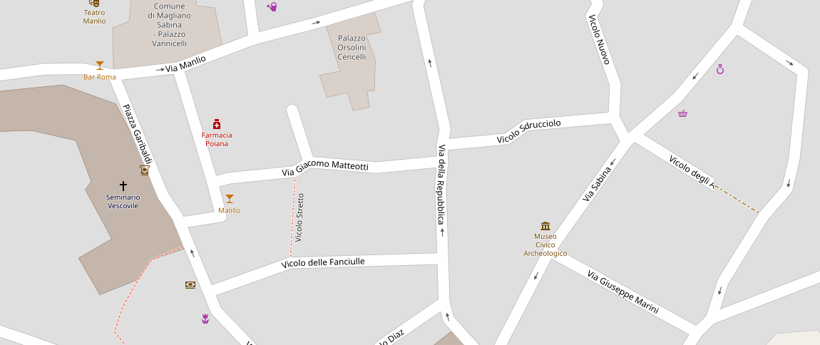
Grazie Mannivu, ho provato anche io a pulire la chache di Chrome, ma continua a darmi lo stesso problema..png)
Può dipendere molto anche dai tempi di aggiornamento delle tiles. Comunque, io la vedo correttamente, quindi non preoccuparti ^_^