NOTICE: help.openstreetmap.org is no longer in use from 1st March 2024. Please use the OpenStreetMap Community Forum

Hi, I wonder how can I get the coordinate information of a road. For example, several geo position along a road. So that I could use these information to know the position and direction of a road.

asked 16 Jul '20, 02:34

SAALTY's gravatar image

SAALTY
16112
accept rate: 0%


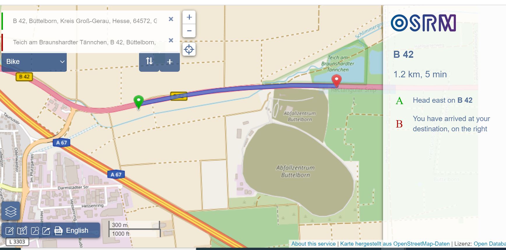
Graphopper and OSRM have the ability to create and export a GPX see box at the bottom left.

alt text

permanent link

answered 16 Jul '20, 18:58

andy%20mackey's gravatar image

andy mackey
13.2k87143285
accept rate: 4%

Thanks for your answer! Is there a way to export all road segments in a city?

(17 Jul '20, 01:50) SAALTY
1

You can use the Export button on https://www.openstreetmap.org for really small areas. For larger areas see country and area extracts.

(17 Jul '20, 07:27) scai ♦

I'll have a look on it, thanks!

(20 Jul '20, 09:21) SAALTY

There's a tricky method: when you are on openstreetmap.org, right click on the point you want to know the coordinates of and select "Center map here". Then, in the URL bar the URL will be changed to something like https://www.openstreetmap.org/#map=ZZ/XX.XXXXX/YY.YYYYY:ZZ is the map zoom level, X and Y are the N/S coordinates and E/W coordinates respectively.

permanent link

answered 16 Jul '20, 18:18

Mannivu's gravatar image

Mannivu
1.1k31027
accept rate: 6%

Your answer
toggle preview

Follow this question

By Email:

Once you sign in you will be able to subscribe for any updates here

By RSS:

Answers

Answers and Comments

Markdown Basics

  • *italic* or _italic_
  • **bold** or __bold__
  • link:[text](http://url.com/ "title")
  • image?![alt text](/path/img.jpg "title")
  • numbered list: 1. Foo 2. Bar
  • to add a line break simply add two spaces to where you would like the new line to be.
  • basic HTML tags are also supported

Question tags:

×223

question asked: 16 Jul '20, 02:34

question was seen: 2,078 times

last updated: 20 Jul '20, 09:21

NOTICE: help.openstreetmap.org is no longer in use from 1st March 2024. Please use the OpenStreetMap Community Forum