In iD I want to make a house, 3 x 4 meters big, short side aligned 25 degrees west of north. It is in a jungle so doesn't show on imagery. I can make the first wall the correct length, but not the rest. Also I don't know how to do the correct amount of rotation. I can't use JOSM because its backward mouse binding messes up my muscle memory. asked 24 Mar '20, 18:00 jidanni edited 24 Mar '20, 18:02 |
One Answer:
If you can do one wall can you estimate the rest of it? If you can plot a gpx line from buildings location with some form of gpx creating tool at the right bearing that should give you correct angle. Import that gpx as a vector file as a background.
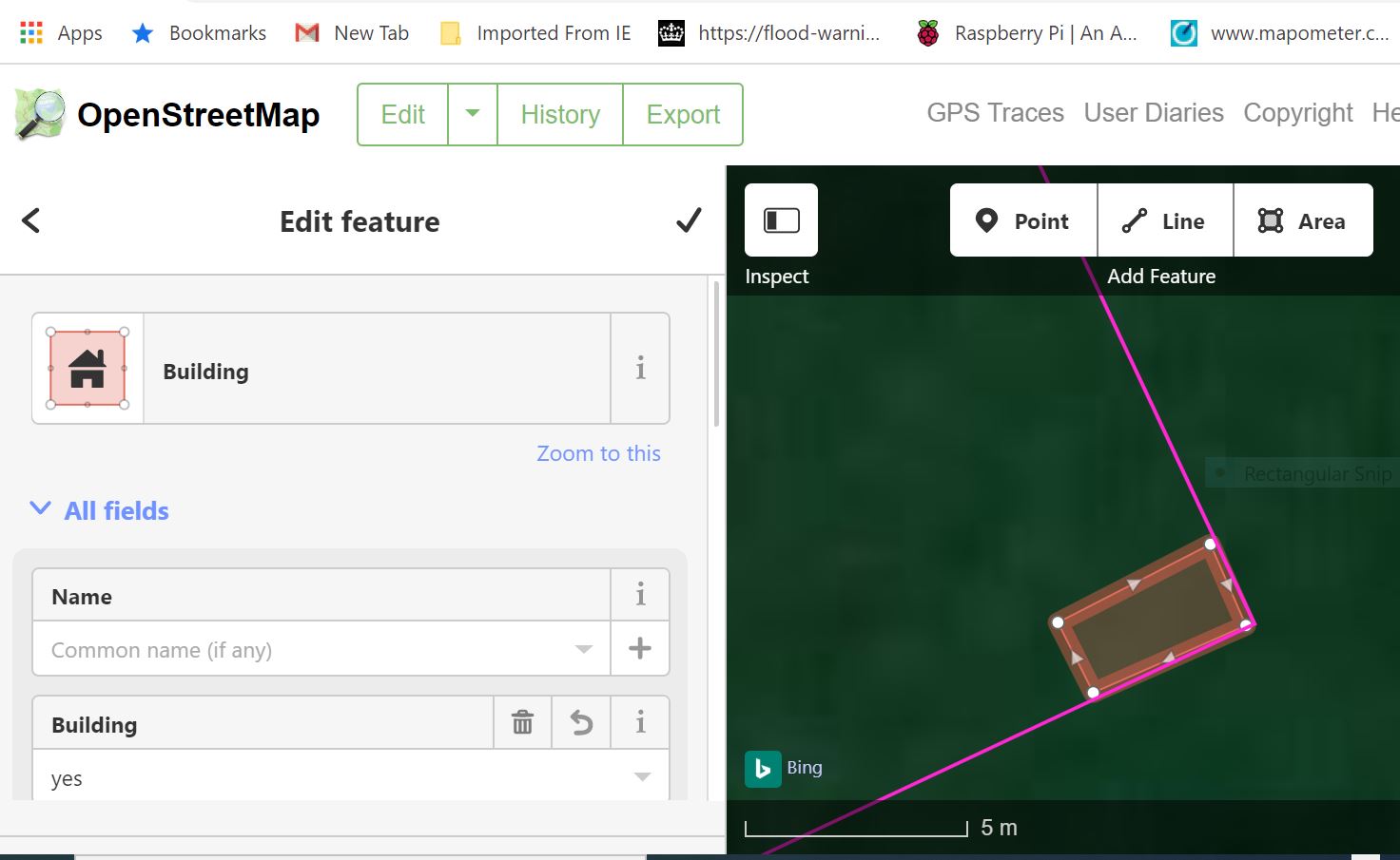
I created the magenta Angle.gpx with a mapping app and dragged that file over the iD screen, i had previously drawn a rough rectangle which i then pulled into the angle and used the scale to size it. I am pleased you get the idea, it works but isn't that great. answered 25 Mar '20, 16:00 andy mackey edited 25 Mar '20, 20:18 showing 5 of 6 show 1 more comments |
OK. I could make the first wall, three meters. Then a second line at right angles, with a node at four meters, and then continuing to finish out the rectangle. Then finally joining each node, and using the Square Tool. Then I could sort of like you say, e.g., use Google Earth to draw a line to some mountain at 25 degrees. And then temporarily find the same mountain and make the same line in iD and use that as a base line to rotate my house. OK, thanks.
Using Google earth may offend Google's copyright.
OK I will press a plastic protractor on my screen.
I just measured the angle of my screen shot with a protractor and it works!
Do not try to press a protractor to the screen, you will knock over your computer. Instead use the protractor to make a suitable line on a piece of paper, and hold that NEAR the screen. And then with your mouse make a line at a similar angle to it. State of the art.
Wait, using perl -MMath::Trig -wle 'print tan deg2rad(25)' giving 0.466307658154999 I can then using the CTRL+SHIFT+M Measurement Tool, make a triangle 10 meters on one side, 4.6 on the hypotenuse, and use that as a baseline. Yes I am using the edges of the screen to help me visually make right angles.