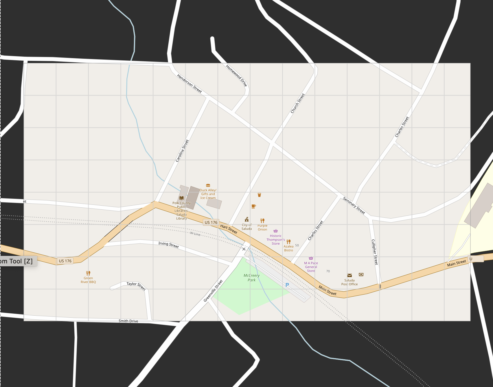
Maps exported from OSM in SVG file format contain a large black background that extend beyond the map area I've selected. So far, I've been unable to remove this black background. I've tried about 6 vector graphics applications and none allow me to edit / remove this black area surrounding the area I've selected in OSM. Is there a setting I've missed or some other way to prevent this extended black background from the SVG export? The attached screenshot shows the problem. This is a cropped screenshot. The black background in the actual file exported from OPS is much larger. Thank you for any advise or help.
asked 17 Mar '20, 14:01 Sccardais |
One Answer:
It's probably not a black background in the file. My guess is that some of the features (like the roads and railway lines in your example) stretch beyond the area that you've selected, so they are included in the file. When you are viewing your map, you see the area that you select, plus extra space around it so that the long roads are shown too. So you aren't trying to remove the black background, what you want to do is trim off (crop) all the extra bits that stick out around the selected area. Or you could set a background colour for your document, or add a big rectangle below everything with the same colour as the land. But you would need to be aware that only some features are shown beyond the original extent of the map. answered 17 Mar '20, 17:57 Andy Allan |
A tutorial for cropping osm.org exports with Sketch : https://medium.com/@sam__rye/a-guide-to-creating-scalable-vector-maps-92e891f0ad3e
The general documentation to do this with InkScape (Free Software) : https://inkscapetutorials.wordpress.com/2014/04/22/inkscape-faq-how-do-i-crop-in-inkscape/#clipping
More details and alternatives on the wiki : https://wiki.openstreetmap.org/wiki/SVG