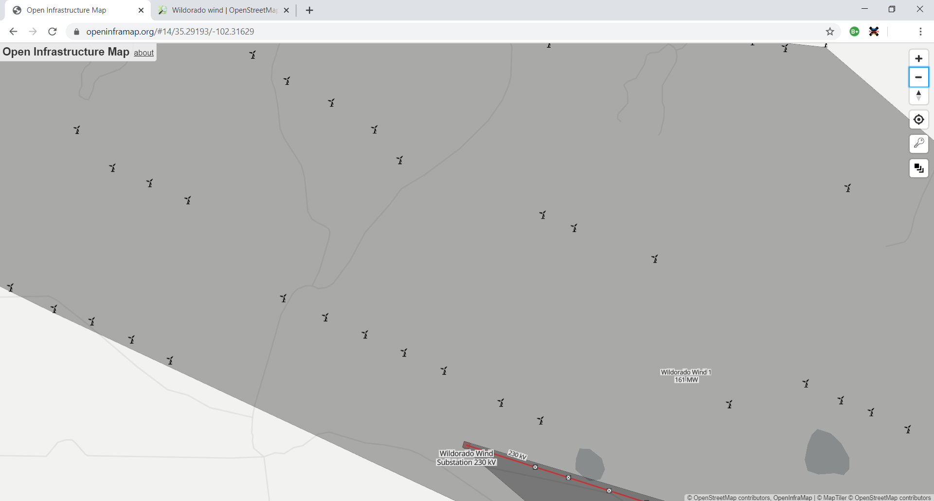
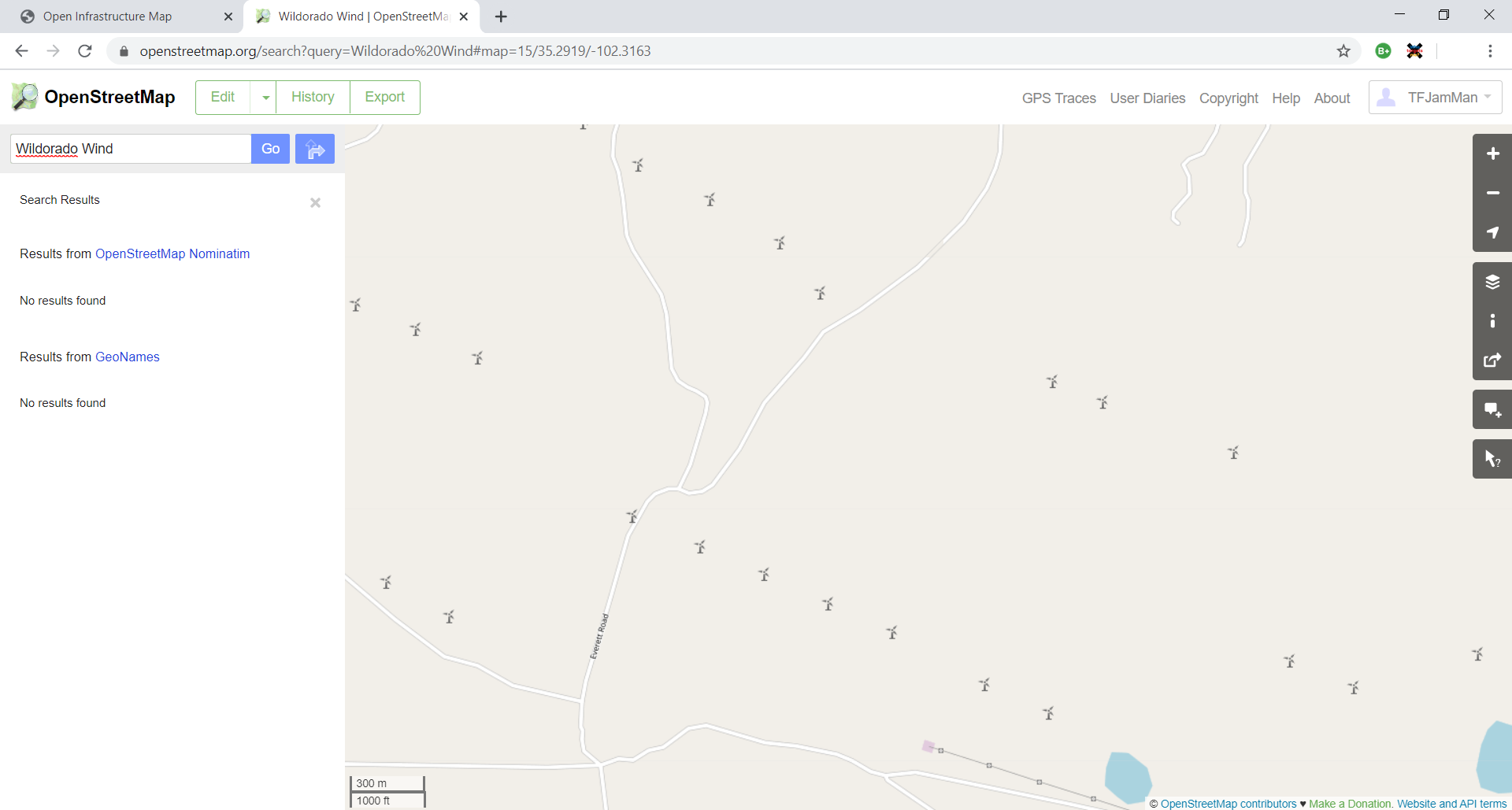
On openinframap.org I can see the Wildorado Wind 1 and 2 farms: https://openinframap.org/#14/35.29193/-102.31629 But on openstreemap.org only the turbines are shown: https://openinframap.org/#14/35.29193/-102.31629 The outline is not being shown (so I can't edit it). Secondly the name is not being found in the search results: openinframap.org showing Wildorado Wind 1: openstreemap.org not finding name of wind farm, or showing the name of wind farm or the outline: asked 27 Dec '19, 22:31 TFJamMan edited 27 Dec '19, 23:29 |
This is a static archive of our old OpenStreetMap Help Site.
Please post any new questions and answers at community.osm.org.


There are two questions. The first being that it's not found in the search results. I have no answer for that yet.
The second being that its outline is not shown so you can't edit it. The wind farm shown on openinframap.org references a open street map object with a whole list of member nodes: https://www.openstreetmap.org/relation/6804129#map=14/35.2836/-102.3052 as opposed to referencing a "way" like for other objects: https://www.openstreetmap.org/way/174863750#map=19/35.29645/-101.74726 So I think open infrastructure just draws the polygon outline automatically and therefore there's nothing for openstreetmap to render with a label of "Wildorado Wind 1" on it.
I guess Nominatim does not recognize relations of type=site, hence it does not show up in the search results on osm.org
With regard to "its outline is not shown so you can't edit it", I think you're right - OpenInfraMap seems to be inferring the polygon based on the nodes.:
Via OSM's data layer or query button you can get to one of the nodes, and from there you can click through to the relation.
@TFJamMan If you see a need, perhaps you could suggest to add a label node for wind farms.