NOTICE: help.openstreetmap.org is no longer in use from 1st March 2024. Please use the OpenStreetMap Community Forum

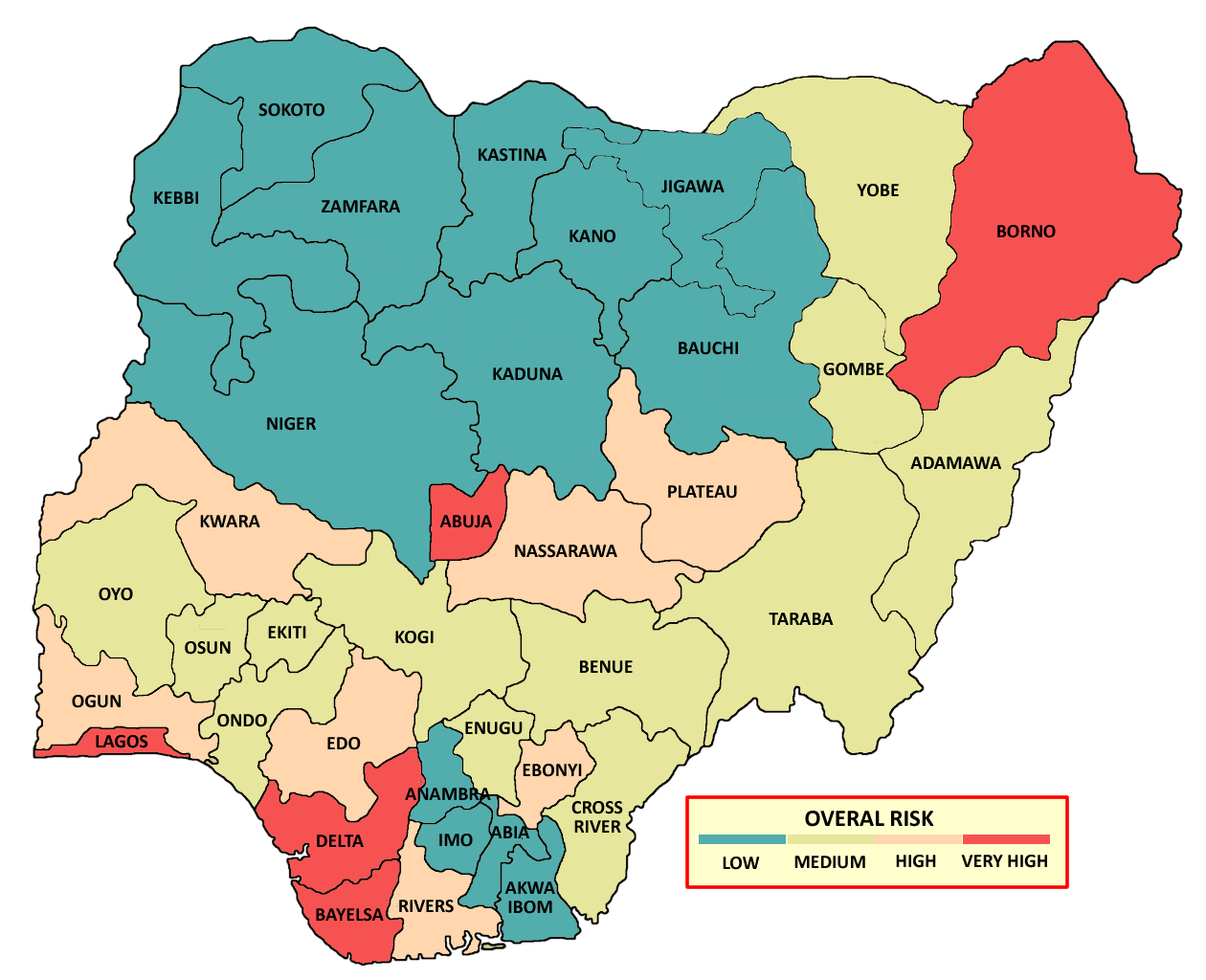
Hello, I'm working on a project in which I need to show color on each city of Nigeria on Map. I want to know how can i do this? this is the sample Image
Thanks in advance,

asked 24 Jul '19, 14:16

Hassanr99's gravatar image

Hassanr99
11112
accept rate: 0%

I can't provide a full solution for you but this looks like a job for QGIS or something similar.

(25 Jul '19, 09:37) scai ♦

The cities seem to be already present in OpenStreetMap which is a good thing: Overpass Turbo

Then it depends what you want to do exactly. You can extract the data from Overpass Turbo and use it in other tools. If you want the regions to be overlayed over a map you could use uMap. But you could also try to import data into a graphics program. Is this a one time task or do you need to recolor periodically or even dynamically?

permanent link

answered 24 Jul '19, 19:21

TZorn's gravatar image

TZorn
12.3k764225
accept rate: 15%

Your answer
toggle preview

Follow this question

By Email:

Once you sign in you will be able to subscribe for any updates here

By RSS:

Answers

Answers and Comments

Markdown Basics

  • *italic* or _italic_
  • **bold** or __bold__
  • link:[text](http://url.com/ "title")
  • image?![alt text](/path/img.jpg "title")
  • numbered list: 1. Foo 2. Bar
  • to add a line break simply add two spaces to where you would like the new line to be.
  • basic HTML tags are also supported

Question tags:

×362
×53
×27
×15

question asked: 24 Jul '19, 14:16

question was seen: 2,250 times

last updated: 25 Jul '19, 09:37

NOTICE: help.openstreetmap.org is no longer in use from 1st March 2024. Please use the OpenStreetMap Community Forum