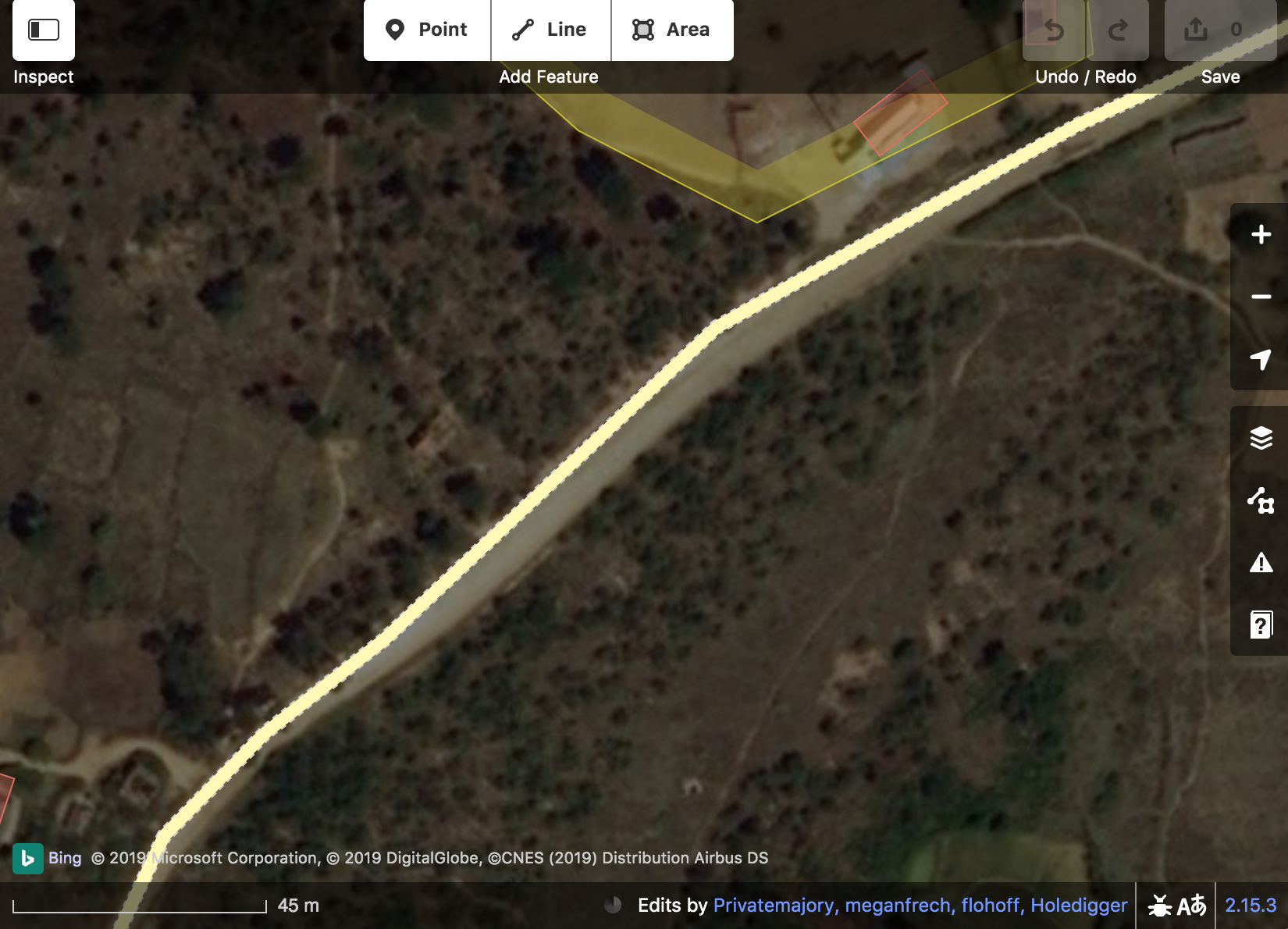
Good day everyone. There are GPS tracks that dragged my attention. At first I thought that they were weirdly accurate but when I looked very close they must have been snapped to existing road data. For example:
Do you know any mobile applications that can record GPS tracks along existing OSM road - or any desktop/web applications that can convert already recorded GPS tracks by snapping them to existing OSM road? Thanks. asked 30 Jun '19, 14:52 Privatemajory |
2 Answers:
Snapping tracks to existing roads is often know as Map Matching. Wikipedia has an article on it, the OSM Wiki incorporates it into an article about conflation. Some navigation apps will give you the option to snap to roads which helps disguise the inaccuracies in the GPS fix. Some apps do this without the option to disable, it can also be done at the device/platform level without necessarily telling software that it's happening. Snapped tracks aren't generally useful for most OSM mapping, either they are snapped to OSM data and useless or snapped to another providers data and therefore tainted (although I don't recall seeing a proper legal opinion on this). answered 30 Jun '19, 21:52 InsertUser |
I think that in this case, the road was traced from that particular GPX file, so it is the other way around, the road is snapped to the GPX. The main reason to think that is that the road is not drawn in the middle in this spot But of course that does make InsertUser's answer to your question incorrect. answered 01 Jul '19, 04:18 escada |


Graphhopper is one OSM routing tool which has a map matching option available.
Thank you @InsertUser and @SK53. Yes, it might be useless for data input, but seems useful for navigation or GPS track analysis. These keywords "conflation" and "map matching" were all I needed to be able to search further about it.