NOTICE: help.openstreetmap.org is no longer in use from 1st March 2024. Please use the OpenStreetMap Community Forum

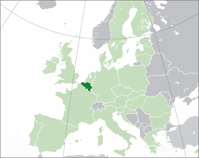
I'm preparing some learning materials and I need to get country shapes w/o names rendered on a bigger scale map. One country (current or better - by coordinates) should be highlighted. See the attached image, an example from Wikipedia. Any ideas how can I achieve that?

Belgium on the map of Europe

asked 11 Jun '19, 12:04

OnkelTem's gravatar image

OnkelTem
11112
accept rate: 0%

edited 13 Jun '19, 08:28

FredrikLindseth's gravatar image

FredrikLindseth
815132435


For maps of this scale, I'd suggest getting small scale country shapes from Natural Earth. A map like this can be achieved with a mapping software such as QGIS or, if you want interactive maps, with web mapping tools such as D3.js or Leaflet.

permanent link

answered 12 Jun '19, 18:07

Privatemajory's gravatar image

Privatemajory
1.1k142233
accept rate: 23%

Follow this question

By Email:

Once you sign in you will be able to subscribe for any updates here

By RSS:

Answers

Answers and Comments

Question tags:

×535
×129
×3

question asked: 11 Jun '19, 12:04

question was seen: 3,677 times

last updated: 13 Jun '19, 08:28

NOTICE: help.openstreetmap.org is no longer in use from 1st March 2024. Please use the OpenStreetMap Community Forum

First time here? Check out the FAQ!

×