Hello all! There are a lot applications to print our maps, but I still can’t find what I need. 1) Upload pre-recorded "curved" GPS-track – in .gpx or .kml format 2) Print out the track pieces and map around it with a set scale. So in general I want to have a bunch of graphic map tiles “following” my track. The more detailed scale I choose the more tiles I have in output. My wish is to have printed suitable paper maps to hike outdoor along the GPS-track. Also the map tiles shouldn’t be chopped from a mere layered grid, ‘cos this way I will have some graphic tiles having a little of track and some without it at all. What service – online or offline, - can accomplish such task? Thanks! asked 12 Jan '19, 20:15 moivhod edited 13 Jan '19, 08:52 SimonPoole ♦ |
3 Answers:
I am not exactly sure what you need, but CalTopo might work for you. However I think its coverage is limited to the United States and if you need/want contour lines the default is in feet. answered 13 Jan '19, 21:12 n76 |
Garmin Basecamp is a free download and should do what want. Download a map from OSM on Garmin of the area you want. With Basecamp working with a map, a GPX can be displayed, or created, then printed for use. Plotted routes will follow the paths and tracks which solves one of the other problems you have encountered. This site may make things easier https://opentopomap.org/#map=15/52.31648/-360.16552 unfortunately looking at your map and searching the names it appears you want Jordan which Opentopomap doesn't cover. answered 25 Jan '19, 13:17 andy mackey edited 27 Jan '19, 21:42 |
When i uploaded a walked gpx trace to inkatlas it looked like this. This was uploaded as answer so i could post the JPEG. I don't know how to put a pic in a comment. if you plot a route with a limited number of points you won't get curvy lines with most mapping software, but Garmin's Basecamp will route along paths as you plot points along your intended route. Please respond to our help answered 27 Jan '19, 21:27 andy mackey edited 27 Jan '19, 21:39 |
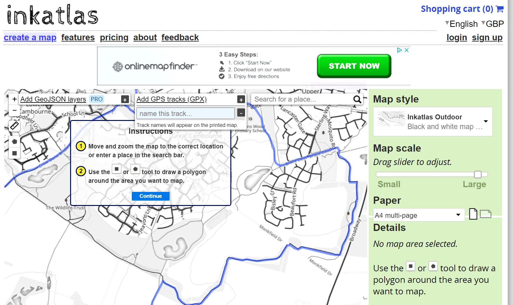
First of all when I upload my gpx tracks to any online printing service I get my POI joined with direct lines, not actual curved tracks. See example from inkatlas.com. What am I doing wrong?
That looks more like a route than a track. A GPX track wouldn't have waypoints/POIs in it. Are you definitely uploading the right file containing the track you recorded with a device?