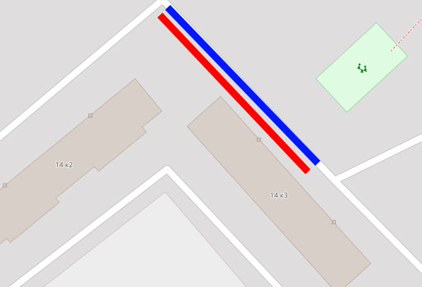
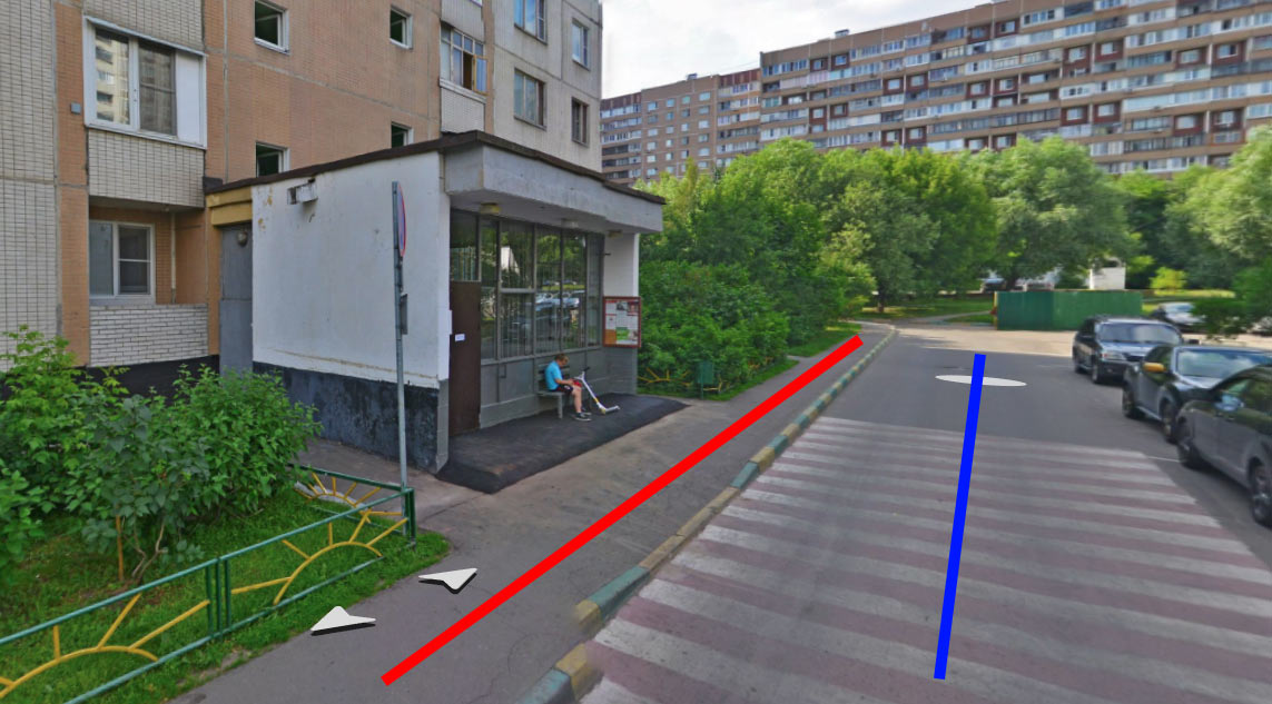
Hi there. I can't figure out how to map sidewalks along living street roads. It seems they are always omitted. So, for example, here is a spot. On a map it looks like this (red line is the sidewalk and blue line is the living street) In real life it looks like this (color lines are roughly in the same places)
asked 02 Dec '18, 19:52 Skiffle edited 03 Dec '18, 06:43 |
One Answer:
I tend to prefer to map the sidewalk as a tag on the street because it resembles the connectedness (you can change at any location between sidewalk and street) of both quite well and keeps geometries simple. Yes, the sidewalk will not show up in the standard map - but that is the map's fault. The sidewalks may seems to be omitted although they may be in the data. Some other maps/routers will show/use it. E.g. the JOSM map style Lane and Road Attributes can show them. This was discussed quite much in the past - please also see the older questions: should-i-map-sidewalks or what-is-the-preferred-method-for-mapping-sidewalks. Also see https://wiki.openstreetmap.org/wiki/Sidewalks . answered 02 Dec '18, 21:27 aseerel4c26 ♦ edited 03 Dec '18, 07:45 Ok, thank you! Now it all makes sense. One question: by "street's osm way" did you mean how the way is drawn in editor (not the actual direction of the way)? (03 Dec '18, 07:34) Skiffle 1 yes, I mean how it is drawn in the editor (you will see arrows on the way - see our wiki on directions. (03 Dec '18, 07:46) aseerel4c26 ♦ |


meta: please give attribution of the author and license of the second image. The first is obviously OSM data and standard map.
Thanks! It is just illustration here, however to be safe some words auf caution for others and case you were not aware: please do not use such street-level photos for your contribution to OSM (unless freely licensed, like mapillary).