NOTICE: help.openstreetmap.org is no longer in use from 1st March 2024. Please use the OpenStreetMap Community Forum

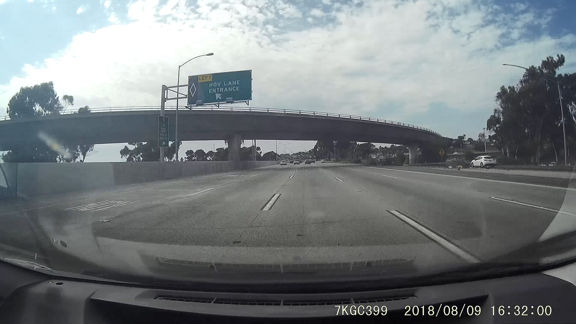
In my city, we have HOV (High-occupancy vehicle) lanes that you can only merge in and out of in certain sections. I would like to map this, but I can't find any way to map merging restrictions. There is no physical barrier, only paint/signs, so I'm quite certain that it should be mapped as a single way.

There are 5 total lanes, 1 HOV (2+) and 4 regular. I've mapped this as:

  • highway=motorway
  • lanes=5
  • motor_vehicle:lanes=no||||
  • hov=designated||||
  • hov:minimum=2

How do I map the no merging sections? How do I map the sections where you are allowed to merge?
Bonus: there are signs that tell you to exit the HOV lane to make specific exits. Can I tag those as well?

An HOV lane entrance

asked 11 Aug '18, 20:30

legoman's gravatar image

legoman
71115
accept rate: 0%

edited 11 Aug '18, 21:24

nevw's gravatar image

nevw
9.8k2690178


I figured it out. There's a proposed key change:lanes that's pretty well used.
https://wiki.openstreetmap.org/wiki/Proposed_features/change
So additionally I'd tag the restricted sections as:
change:lanes=no|not_left|yes|yes|yes

and the non-restricted sections as:
change:lanes=yes|yes|yes|yes|eys

permanent link

answered 12 Aug '18, 05:28

legoman's gravatar image

legoman
71115
accept rate: 0%

Follow this question

By Email:

Once you sign in you will be able to subscribe for any updates here

By RSS:

Answers

Answers and Comments

Markdown Basics

  • *italic* or _italic_
  • **bold** or __bold__
  • link:[text](http://url.com/ "title")
  • image?![alt text](/path/img.jpg "title")
  • numbered list: 1. Foo 2. Bar
  • to add a line break simply add two spaces to where you would like the new line to be.
  • basic HTML tags are also supported

Question tags:

×23
×10
×10
×5
×1

question asked: 11 Aug '18, 20:30

question was seen: 2,040 times

last updated: 12 Aug '18, 05:28

NOTICE: help.openstreetmap.org is no longer in use from 1st March 2024. Please use the OpenStreetMap Community Forum