NOTICE: help.openstreetmap.org is no longer in use from 1st March 2024. Please use the OpenStreetMap Community Forum

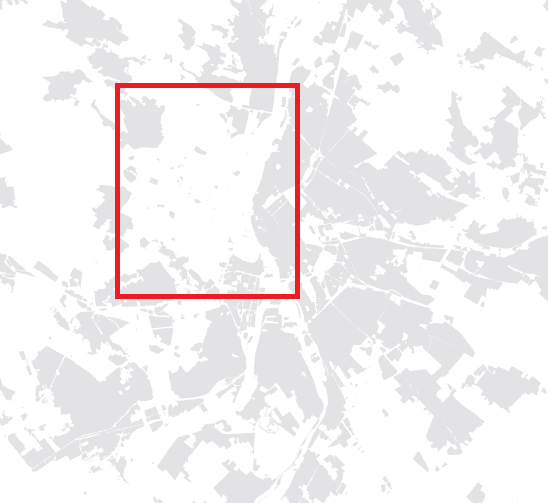
Hi there,

I would like to ask if someone could repair the landuse polygons in Budapest.
It's looking good in https://www.openstreetmap.org/#map=12/47.5041/19.0997, but when I download the data (via geofabrik, or overpass turbo), a lot of the residential area is missing.
Thank you for your help.

alt text

asked 07 Jun '18, 14:39

RekaFarkas's gravatar image

RekaFarkas
16112
accept rate: 0%


It looks as if the missing landuse is a multipolygon : https://www.openstreetmap.org/relation/3884402. This was edited about 10 days ago (see changeset in link above) and this looks to have corrected a couple of gaps in the outer boundary.

permanent link

answered 08 Jun '18, 11:40

SK53's gravatar image

SK53 ♦
28.1k48268433
accept rate: 22%

Thank you, it really has been corrected. Have a great day.

(08 Jun '18, 12:52) RekaFarkas

Follow this question

By Email:

Once you sign in you will be able to subscribe for any updates here

By RSS:

Answers

Answers and Comments

Markdown Basics

  • *italic* or _italic_
  • **bold** or __bold__
  • link:[text](http://url.com/ "title")
  • image?![alt text](/path/img.jpg "title")
  • numbered list: 1. Foo 2. Bar
  • to add a line break simply add two spaces to where you would like the new line to be.
  • basic HTML tags are also supported

Question tags:

×103
×88
×24
×1

question asked: 07 Jun '18, 14:39

question was seen: 1,491 times

last updated: 08 Jun '18, 12:52

NOTICE: help.openstreetmap.org is no longer in use from 1st March 2024. Please use the OpenStreetMap Community Forum