|
|
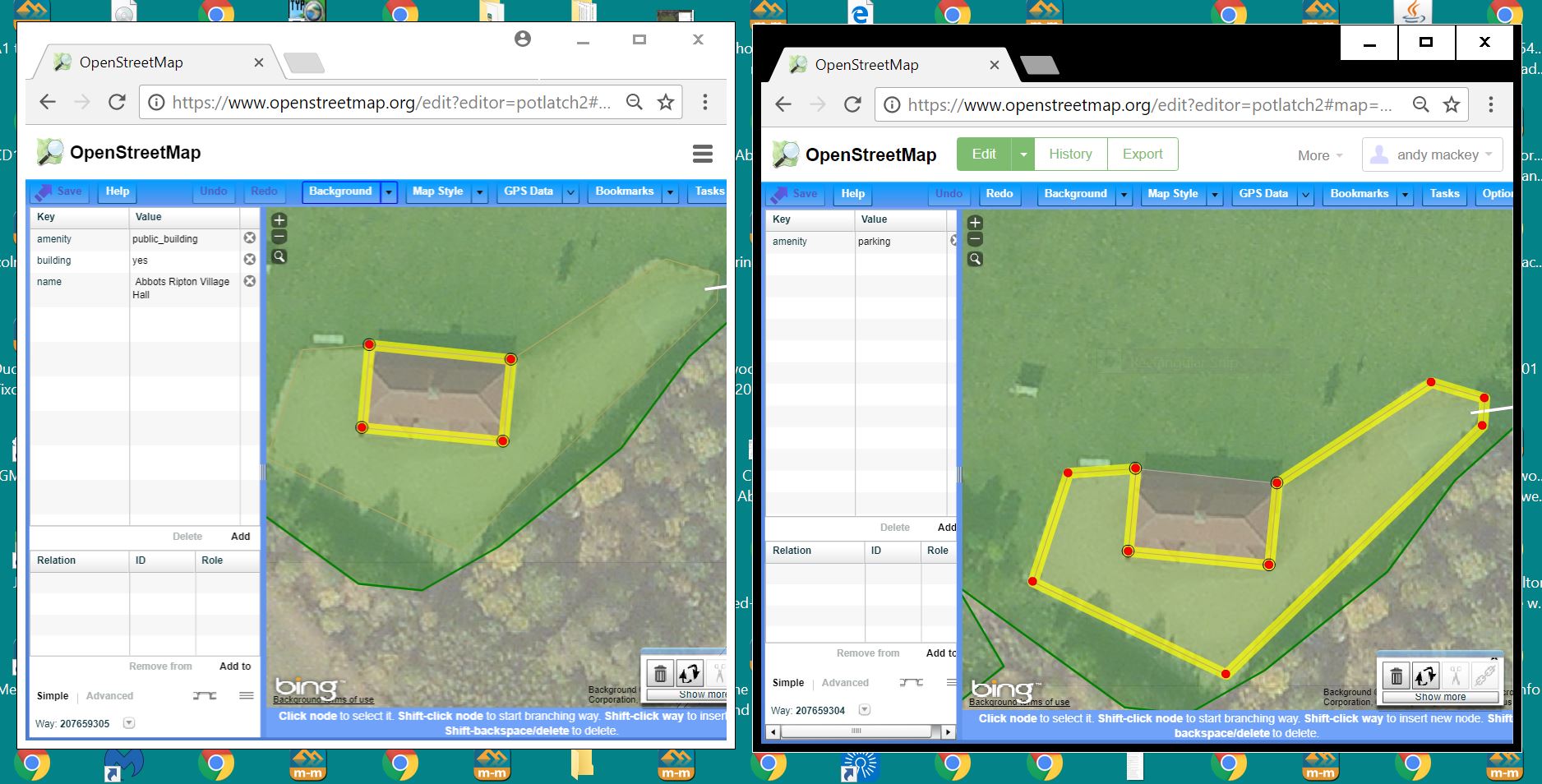 I mapped this public building almost four years ago. amenity=public_building building=yes and name =Abbots Ripton Village Hall. I also mapped the car park which surrounds the building on three sides which explains why the "P" is centred on the building, it's in the centre of the area. I could cut the park into two polygons to move the now two "p"s. Would the village hall and it's name then render as i intended?
|
I don't think that you have mapped it wrongly - it's a known problem with that map style. See also this issue. Mapnik (the software) is what actually decides where to place icons. There are ways within the stylesheet (or resulting XML) to influence where icons and labels go, but if a change were made it'd need careful testing to see what it broke elsewhere. |
|
I think you shouldn't split the parking area to make it look better on some layers. The park is one and you mapped it correctly. Splitting it would be considered "tagging for the render" I guess. The only things I'd do to that area are: improving the building shape and squaring it. If you look at Bing or Mapbox satellite images you can see the building has a shape which is different from the one you did draw years ago. |
This hall has almost identical tagging and works OK. I guess the problem i have highlighted rarely occurs and only on the standard map when car parks centre over buildings. https://www.openstreetmap.org/#map=18/52.35639/-0.21046