I know how to make iD show a GPS track. But how to make iD (or any other OSM editor, but preferably iD) show several GPS tracks? Why? Smartphone GPS sometimes get way off, making the GPS track unreliable. But since I carry two phones (in different pockets, with time perfectly synchronized), by seing the two tracks I would be able to see what parts are reliable (both tracks are close) and what parts are unreliable (tracks differ). asked 13 Sep '17, 02:53 Nicolas Raoul edited 16 Sep '17, 04:37 |
3 Answers:
answered 13 Sep '17, 15:16 andy mackey This way shows them all, but for just your own two try dragging your gpxes into the iD window. (13 Sep '17, 15:21) andy mackey 1 I have tested dragging in a second file, and each time the first one disappears. So for some reason this method does NOT work. (13 Sep '17, 19:11) andy mackey To load one or two gpx traces merge them into one using some track editing software of choice or even a text editor. See my other answer and jpeg. (19 Sep '17, 15:15) andy mackey (19 Sep '17, 15:18) andy mackey |
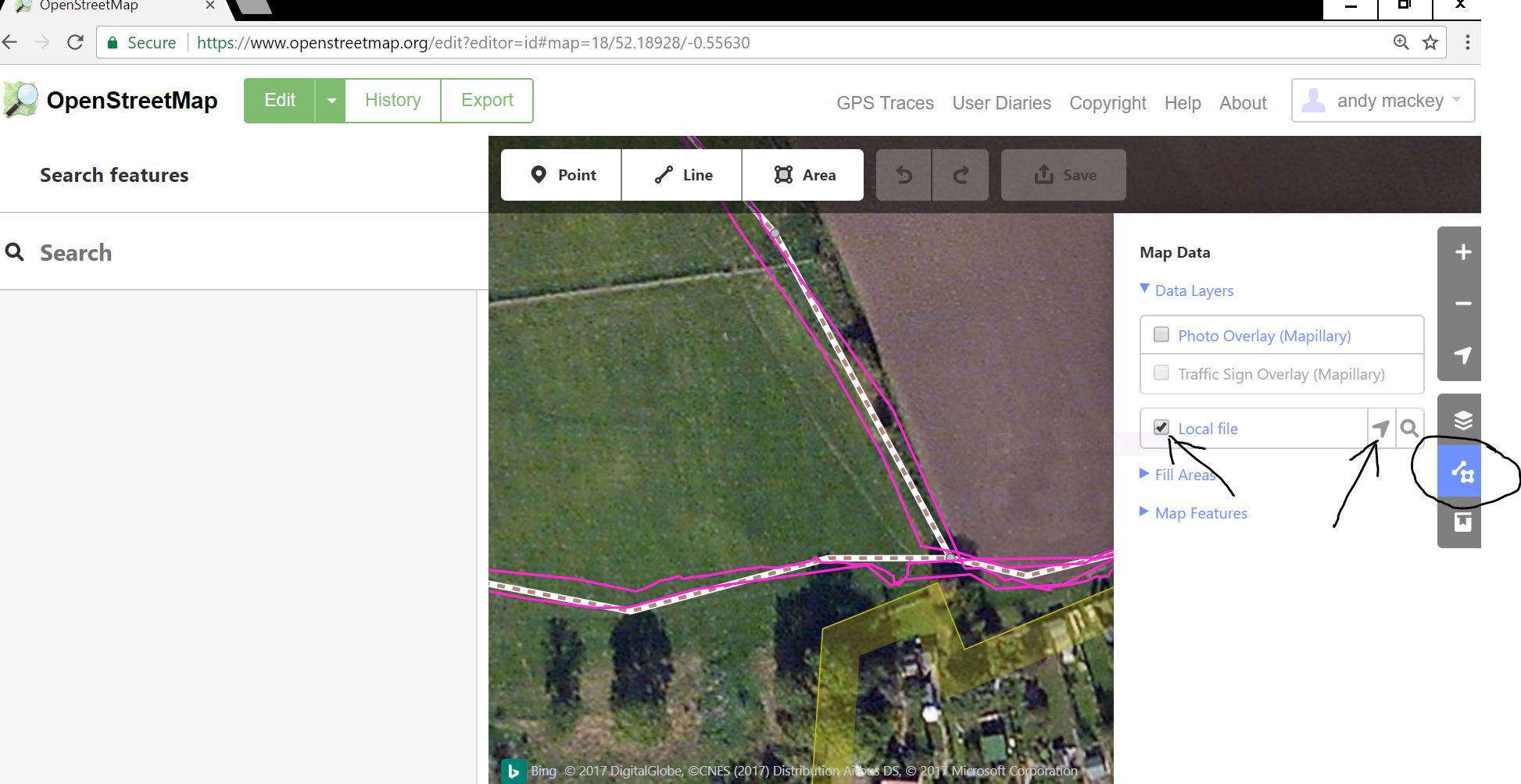
I joined my pair of traces by uploading both into GPS Prune. I saved ( exported) them, I browsed to them in iD and it worked see pic. answered 13 Sep '17, 15:46 andy mackey Babel and some other software will merge two gpx traces which should allow you to see your pair of traces at the same time, as above. They could be uploaded to osm. which allows others to use them as well, or just drag the merged trace into the iD window. (13 Sep '17, 22:12) andy mackey 2 With GPSBabel you could do https://wiki.openstreetmap.org/wiki/GPSBabel/Using_filters#Merge_tracks (13 Sep '17, 22:16) Hjart (16 Sep '17, 04:02) Nicolas Raoul |
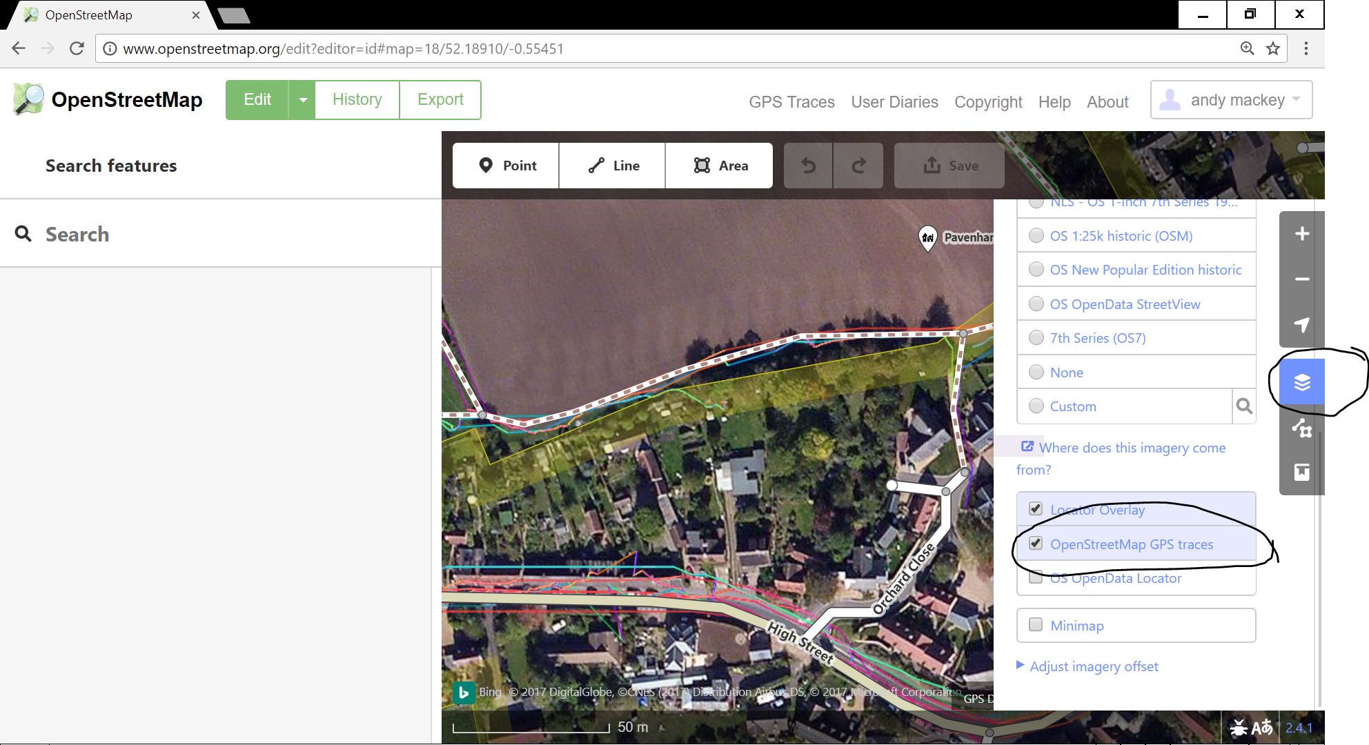
JOSM will happily load any number of gps tracks, as well any gps tracks uploaded to OSM answered 13 Sep '17, 09:36 Hjart Potlatch2 will display all public traces in the window if required, by clicking on the gpx tab. Or one or two traces can be loaded via the background tab as vector files from a known place on your PC. (19 Sep '17, 15:11) andy mackey |
This is a good idea. Using Potlatch2 I usually choose show all traces to check background alignment and get best average to map ways.
You will get better traces when the signal is not degraded in a low pocket. Try the top of a backpack or a shoulder strap mount.