I am trying to edit the lake/wood in this part of the map https://www.openstreetmap.org/#map=17/41.42816/-96.58204 I have figured out how to create multipolygons to create "holes" in the wood, but I can't find a way to merge the lake and wood to make them exclusive. Every time I merge them I get either a giant lake/wood covering the entire area or a bunch of "lines" on the former lake area that I can't turn back into an area. I'm using the iD editor. asked 19 Aug '17, 21:57 lordgilman edited 19 Aug '17, 22:04 |
3 Answers:
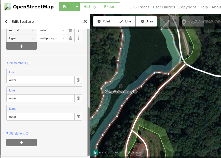
iD has support for editing the Wood relation directly rather than trying to use the merge tool (which seems to have difficulty with merging the relations). It seems the most difficult part is selecting the Dam, the only way I can figure how to do it is to first select another part of the lake, select the lake relation from there and then select the Dam from the relation members panel:
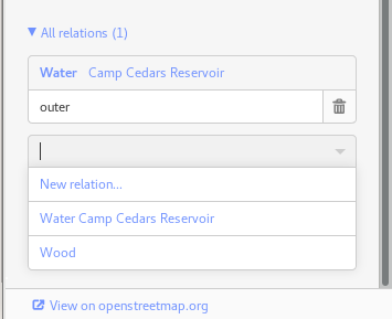
Once the Dam is selected, use the "All relations" panel to add the Dam to the "Wood" relation with role inner:
Then add the other two parts of the lake to the wood relation the same way. If there are multiple wood relations, a temporary name on the relation of interest can make the whole process simpler, just make sure to delete the name before saving. answered 20 Aug '17, 15:06 maxerickson |
I don't use the iD editor preferring JOSM so can't comment directly about iD But, the difference between the lake and other areas added to the wood multipolygon, is that the lake is itself a multipolygon. The lake is made up of three parts, (two parts described by the multipolygon and one (the Dam) described on the individual way). One way over this problem is to delete the lake multipolygon, make the lake an area described/outlined by a single enclosing line with of course its own tagging, draw/keep the dam as a separate linear feature, (it can be on-top of the lake polygon. Then add the lake (now a single line polygon same as the other areas) to the wood multipolygon. This method works with JOSM, hope it helps. answered 20 Aug '17, 07:26 BCNorwich |
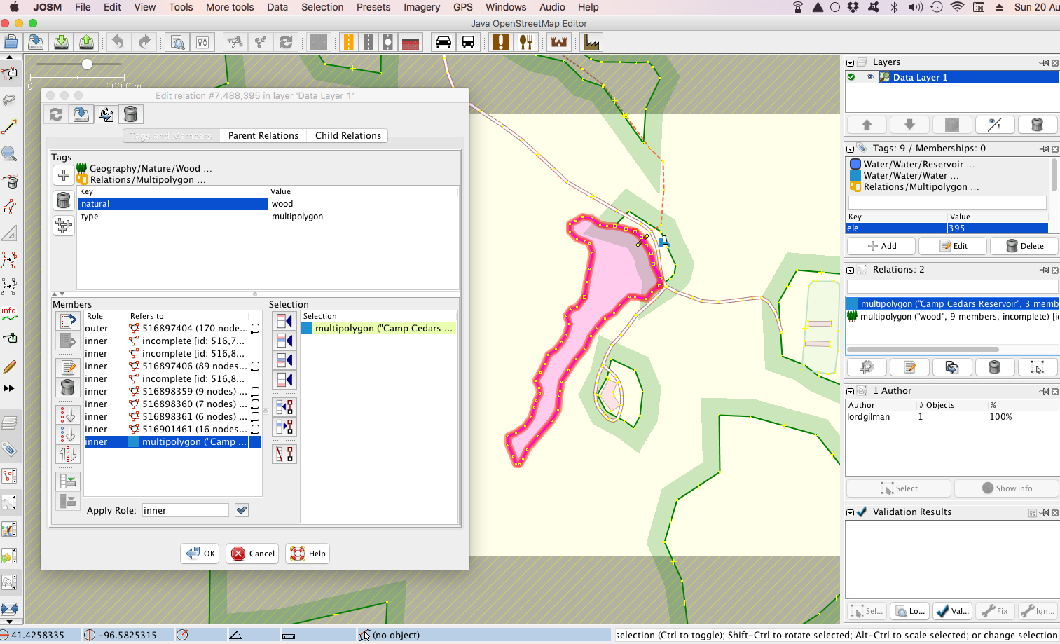
Using Josm as I am unfamiliar with iD: answered 20 Aug '17, 08:54 nevw edited 20 Aug '17, 16:38 |


Regarding the issue you mentioned with selection: in iD you can click on a node used by both ways, then use the \ key to cycle through the ways which use that node.
Adding the wood relation by hand on all the parts worked great!