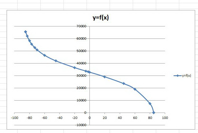
Hi, I am a developer and I need the function y=f(x)=? between the latitude (=x; -90 <= x <= 90) and the tile number on zoom level 16 (=y; 0 <= y <= 65536) for my mobile game. I exported the osm tiles with Maperitive and I need to convert the gps position of the phone to the tile number (x, y). I already have an algorithm to determine the x value of the tile number but I need the y value too. I can get the function by myself, but I would need to spend days on getting an accurate function because it seems to be a function with a degree over 10. I attached three screenshots with the graph, the value table and the tiles for better understanding. Full graph:
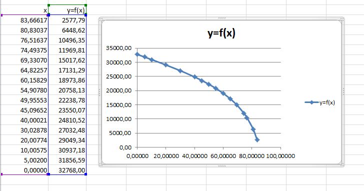
Part of the graph with value table:
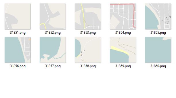
Tiles generated with Maperitive (zoom level 16):
asked 26 Jun '17, 18:53 Time2Design |
One Answer:
Take a look at https://wiki.openstreetmap.org/wiki/Slippy_map_tilenames answered 26 Jun '17, 19:20 maxerickson |
thank you!