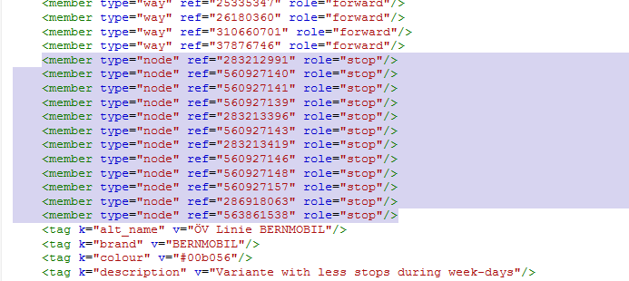
Hi everyone! I'm trying to get the members (nodes) of a relation as a list. I'm using FME to read the PBF, which is basically using "drv_osm" from GDAL. I tried all options from the config file (osmconf_.ini) and FME itself (offers rarely any) but could not get the members. Instead, I just receive multilines consisting of all the ways/nodes of the relation. When I use Overpass Turbo and the following query, I get the desired list of members: relation(6794709); out;
Is it possible to get this Information from the PDF raw data file somehow? asked 13 Jun '17, 16:36 Egaru |
One Answer:
I suspect that you would be best served by using osmium in one of it incarnations/bindings. answered 13 Jun '17, 19:49 SimonPoole ♦ Ah, ok. So the gdal driver (which is used in FME I want to use) offers no possibility to get the members list. I'll give osmium a try, thanks! (15 Jun '17, 20:42) Egaru |


The GDAL driver makes osm data fit into a typical GDAL use case. The solution is to access the data using a library that does not attempt to abstract away the OSM data model. https://wiki.openstreetmap.org/wiki/PBF_Format has some leads for libraries.