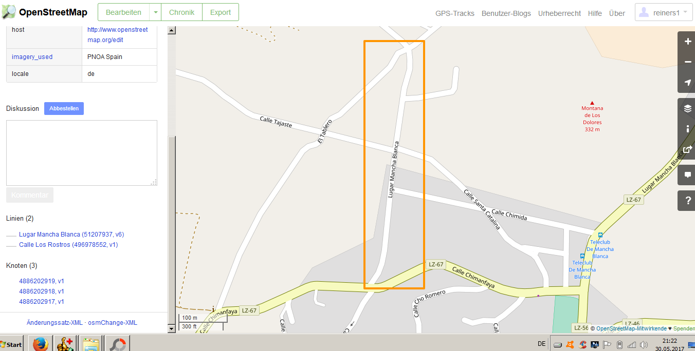
I reported for a new street what has been set up on the Island Lanzarote Spain Canary Islands. For details verify screen-shot. After editing I was told "modification will show up very shortly". I do not see anything. The coordinates are 29.04477, -13.68942 Any advice ? http://www.abenax.de/los_rostros_openstr.PNG asked 01 Jun '17, 17:50 reiners1 |
One Answer:
When something new is added to the map data it will always take a while for that data to be rendered by the various maps. If you look at the cycle map it has not been rendered yet. You just have to wait for a little time, rendering used to be slower in the past. Note:- It is much easier for us to look at point on the map if questioner just cuts and pastes the URL, browse map and zoom in then just copy the url as in my comment. If I experience a delay in rendering i just open the editor and check tags and mapping were saved. Sometimes old data may be stored in the browser cache which can cause older data to be displayed. answered 01 Jun '17, 19:31 andy mackey edited 01 Jun '17, 23:47 |
Do you mean this one? That is rendered now. https://www.openstreetmap.org/#map=19/29.04472/-13.68943