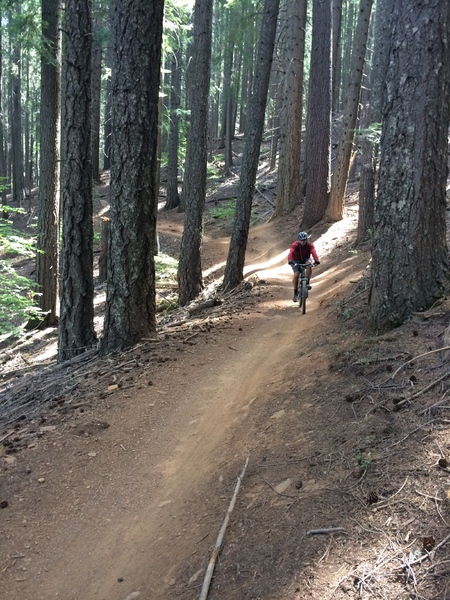
I'm trying to map trails that are used (unofficially) for gas-powered dirt bikes... Trails are much wider than the wooded trails nearby, but they are not big enough for a tractor or four wheel vehicle. Currently they are tagged highway=service which is wrong, but not sure whether to use highway=path width=3 or highway=track ... also wondering how to show the state of disrepair, that would indicate the trees fallen into these trails. Found this question with a search and figured it would be good to add this question here. Found this image below that looks similar to the Hyannis Mass USA area that I am mapping.
asked 28 Feb '17, 12:20 mtc converted to question 28 Feb '17, 12:30 scai ♦ |
One Answer:
highway=service is clearly wrong, that's correct. I would go for highway=path since the trails are "not big enough for a tractor or four wheel vehicle". A track requires to be passable by a typical four-wheeled vehicle which isn't possible for these trails. Regarding the bad quality of these trails I'm not aware of any established tagging scheme. I guess you are referring to conditions more worse than in your photo. I would consider a few obstacles from time to time pretty normal for a path. answered 28 Feb '17, 12:37 scai ♦ thanks ... that makes sense ... changes made (28 Feb '17, 12:52) mtc |


I've converted your "answer" from this question since it is clearly a question and not an answer. Please don't add new questions to existing ones. This help system is meant for adding answers only.