NOTICE: help.openstreetmap.org is no longer in use from 1st March 2024. Please use the OpenStreetMap Community Forum

I did everything like eyemax in the question "Set RailsPort and JOSM to use local tile server", and changed files according to spirea's advice. I was able to download maps, edit them and upload. But i have two questions:

  1. http://localhost:3000 doesn't show me any maps only grey background, but i know they are changed because i see my changes in changelog. Do i need some styles like CartoCSS, or maybe renderd should do something here?
  2. While downloading maps using JOSM, global maps (a.tile.openstreetmap.org) are visible, and local (localhost) are downloaded, thats weird, how can i force JOSM to show me maps from my server?

And another question related to whole idea: I have tile server which uses gis database, nominatim geocoding which uses nominatim database and rails port which uses openstreetmap database. Migrating changes from one database to another is pain in the ass, and not very elegant way.

Are there other ways of editing maps on local server?

asked 23 Oct '15, 10:01

jorax's gravatar image

jorax
26335
accept rate: 0%

edited 28 Oct '15, 19:38

aseerel4c26's gravatar image

aseerel4c26 ♦
32.6k18248554

question 1 is not related to JOSM, is it? If it is not, please ask it as a separate question.

(29 Oct '15, 19:32) aseerel4c26 ♦

yup its not, it is related to railsport, and tags are for josm and railsport as well. I've managed to fix it however. The URL to tile server was wrong. Solution is here: http://help.openstreetmap.org/questions/36946/set-railsport-and-josm-to-use-local-tile-

(03 Nov '15, 12:22) jorax

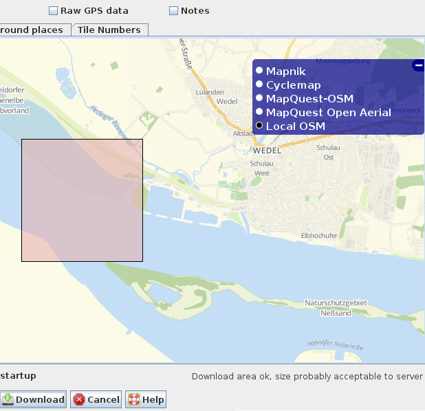
Ad 2. how to change visible layer in JOSM: use blue '+' button on right border of screen.

screenshot of JOSM's download area selection window

Concerning synchronizing databases this is the solution: http://wiki.openstreetmap.org/wiki/Minutely_Mapnik

Basically the idea is to set osmosis to download replication files from given server and then osm2pgsql should upload those changes to gis. But i use both manually through terminal.

How can I execute them automatically?

permanent link

answered 29 Oct '15, 08:42

jorax's gravatar image

jorax
26335
accept rate: 0%

edited 29 Oct '15, 19:03

aseerel4c26's gravatar image

aseerel4c26 ♦
32.6k18248554

Follow this question

By Email:

Once you sign in you will be able to subscribe for any updates here

By RSS:

Answers

Answers and Comments

Markdown Basics

  • *italic* or _italic_
  • **bold** or __bold__
  • link:[text](http://url.com/ "title")
  • image?![alt text](/path/img.jpg "title")
  • numbered list: 1. Foo 2. Bar
  • to add a line break simply add two spaces to where you would like the new line to be.
  • basic HTML tags are also supported

Question tags:

×622
×29

question asked: 23 Oct '15, 10:01

question was seen: 5,102 times

last updated: 03 Nov '15, 12:23

NOTICE: help.openstreetmap.org is no longer in use from 1st March 2024. Please use the OpenStreetMap Community Forum