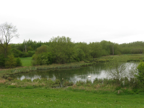
For example, consider a golf course. In England it is common for each golf hole to be separates by areas of trees. These can be single lines of trees are quite large groups of 50 to 100 trees. These are not really woods - at least not as I understand them. They are usually manages quite carefully so maybe they could be a forest. However ten trees doesn't really seem like any sort of definition of a forest. asked 04 Dec '13, 22:14 RobChafer |
2 Answers:
My practise for mapping (including on golf courses) is for any area of trees is to use natural=wood as this simply defines the area to have some trees in it! Although sometimes I don't map all the 'smaller' trees - it's a judgement call on to how keen you are / how much time you have to map it. For reference you can view the OS Streetview Layer which contains wooded green areas for even smallest groups of trees. NB There is the option for landuse=forest too (see https://help.openstreetmap.org/questions/324/when-should-we-use-landuseforest-rather-than-naturalwood for further discussions). In the absence of any specific name on the group of trees probably means it's not a wood in the sense that I think you've thinking of: i.e. a reasonably largish area sustaining typical woodland flora and fauna. For golf courses, especially for big single tree(s) that one considers to be part of the hole or an obstacle on it, I like to mark these individually with a natural=tree at the appropriate places. answered 04 Dec '13, 23:27 robbieonsea |
Despite robbieonsea's answer which probably represents current practice, other than for avenues of trees with The example of the practice of the Ordnance Survey in their StreetView tiles is not really one to follow: many green areas on these maps are single large trees in grassy parkland, low scrub and at least one case a wetland with no trees at all: This demonstrates why overloading You have the following alternatives:
Personally, I think adding an extra tag is the best that can be done (penultimate suggestion). You get the benefit of existing rendering rules, but enable these areas to be picked up or excluded in queries. The most obvious, but somewhat clunky ones are answered 08 Dec '13, 11:41 SK53 ♦ I can understand why one would want to distinguish two things that happily shared natural=wood before, but the separation is rather unclear. Before discussing about tagging, we should get a clear definition of which is which, how to recognize them, and why they are useful to separate. (14 Dec '13, 09:01) Vincent de P... ♦ |


+1 for natural=wood and natural=tree. You can also use natural=tree_row and barrier/natural=hedge in some cases.
landuse=forest should IMHO be reserved for forestry / harvested wood.
Yes, I forgot to mention natural=tree_row.
However that tag languishes in limbo land. As far as I'm aware no major renderer draws it and no editor supports it as a default preset option.
Hence there's little incentive for a mapper to map it this way if they are going to map it at all. If one is keen enough then you'll probably go for mapping each individual tree.
The osm fr style renders natural=tree_row, along with many other niceties.
@Vincent This style is really pretty.