NOTICE: help.openstreetmap.org is no longer in use from 1st March 2024. Please use the OpenStreetMap Community Forum

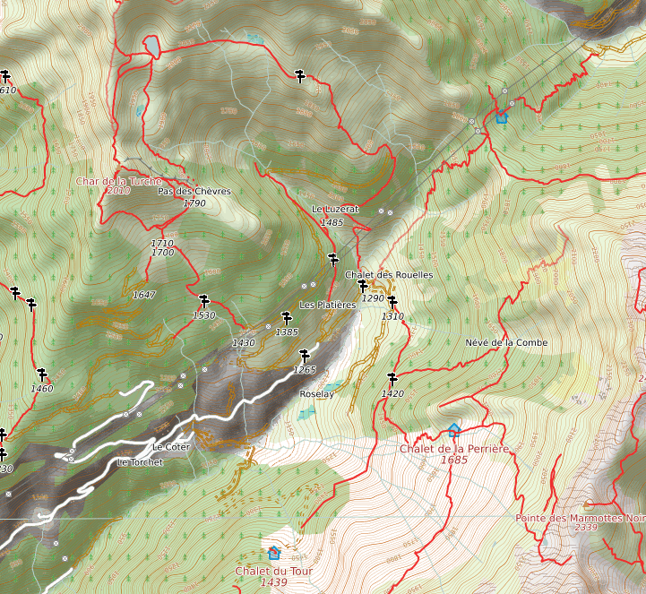
Hello,

for hiking I started using OpenHikingMap. However I wonder what some of the symbols in this map mean and up to now I was unable to find a complete legend. Look at the map tile in this link

What is the meaning of the unfilled brown double line with intersections visible in the upper left side of the png? What do red lines and white lines stand for? Is there a legend somewhere, that explains the symbols?

Thanks a lot Rainer

asked 18 Apr '12, 13:18

rainer042's gravatar image

rainer042
1111
accept rate: 0%

2

The wiki page for it is here, and the author requests "Questions/Suggestions/bug reports" via the talk page, so I'd ask there.

(18 Apr '12, 13:35) SomeoneElse ♦
Be the first one to answer this question!
toggle preview

Follow this question

By Email:

Once you sign in you will be able to subscribe for any updates here

By RSS:

Answers

Answers and Comments

Markdown Basics

  • *italic* or _italic_
  • **bold** or __bold__
  • link:[text](http://url.com/ "title")
  • image?![alt text](/path/img.jpg "title")
  • numbered list: 1. Foo 2. Bar
  • to add a line break simply add two spaces to where you would like the new line to be.
  • basic HTML tags are also supported

Question tags:

×22
×1

question asked: 18 Apr '12, 13:18

question was seen: 8,495 times

last updated: 18 Apr '12, 13:36

NOTICE: help.openstreetmap.org is no longer in use from 1st March 2024. Please use the OpenStreetMap Community Forum